UN/LOCODE hub · United States
UST2R
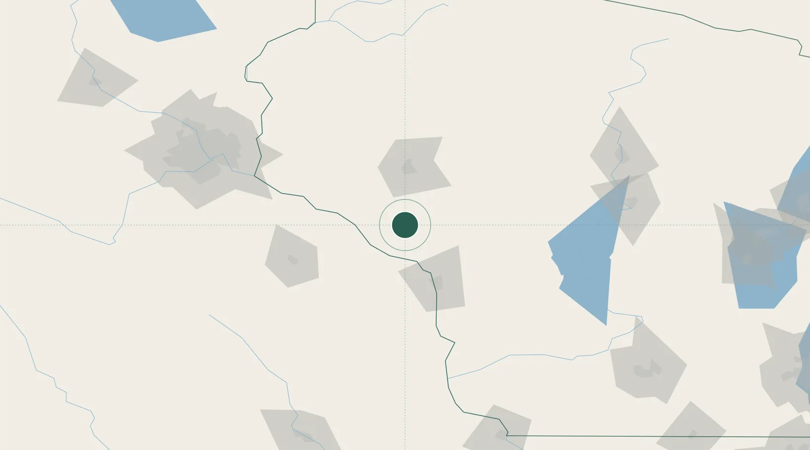
Trempealeau
44.3333°, -91.5167°
1,615
Population
1
Transport functions
Transport Functions
Port
Hub Profile
Place type
Populated place
Region
Wisconsin
Population
1,615
Time zone
America/Chicago
Elevation
208 m
Location
Nearby Logistics Neighbours
Airports
- 1La Crosse Regional Airport55 km
- 2Chippewa Valley Regional Airport59 km
- 3Rochester International Airport92 km
- 4Volk Field110 km
- 5New Richmond Regional Airport121 km
Trade Zones
DatabookThe Record of Consolidated Knowledge
United States beyond logistics?