Transport Functions
Rail
Road
Hub Profile
Place type
Populated place
Region
Kansas
Time zone
America/Chicago
Elevation
491 m
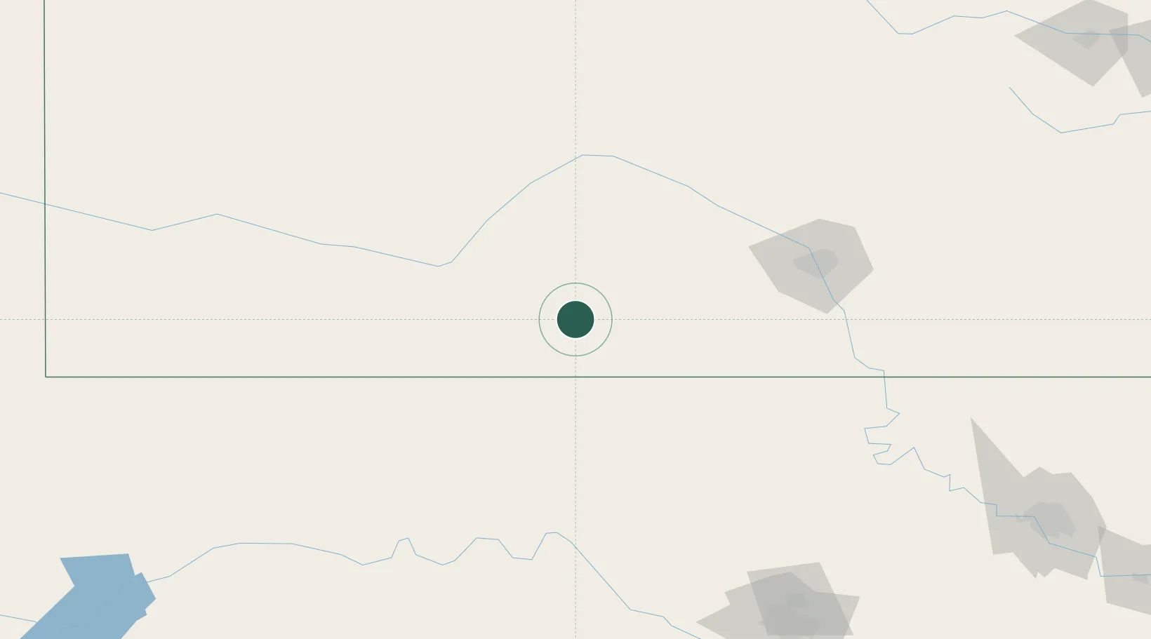
Location
Nearby Logistics Neighbours
Cities
- 1Medicine Lodge22 km
- 2Coldwater45 km
- 3Greensburg50 km
- 4Alva63 km
- 5Kingman71 km
Ports
- 1Port Of Memphis816 km
- 2Deer Park904 km
- 3Houston906 km
- 4Pasadena912 km
- 5Baytown917 km
Airports
Trade Zones
- 1FTZ No. 161 Sedgwick County101 km
- 2FTZ No. 106 Oklahoma City239 km
- 3FTZ No. 053 Rogers County287 km
- 4FTZ No. 164 Muskogee351 km
- 5FTZ No. 252 Amarillo364 km
DatabookThe Record of Consolidated Knowledge
United States beyond logistics?