UN/LOCODE hub · United States
USXAF
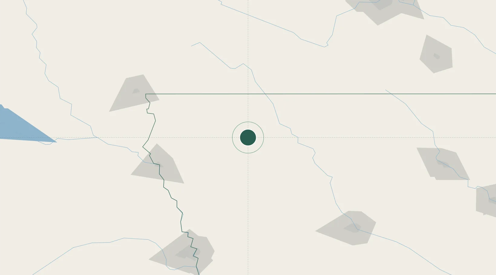
Sioux Rapids
42.8833°, -95.1500°
777
Population
3
Transport functions
Transport Functions
Road
Multimodal
Fixed Transport
Hub Profile
Place type
Populated place
Region
Iowa
Population
777
Time zone
America/Chicago
Elevation
384 m
Location
Nearby Logistics Neighbours
Cities
- 1Vail35 km
- 2Schaller46 km
- 3Emmetsburg46 km
- 4Arnolds Park54 km
- 5West Bend59 km
Ports
- 1Superior492 km
- 2Duluth494 km
- 3Ashland534 km
- 4Two Harbors536 km
- 5Washburn539 km
Airports
Trade Zones
- 1FTZ No. 288 Northwest Iowa81 km
- 2FTZ No. 220 Sioux Falls153 km
- 3FTZ No. 107 Polk County179 km
- 4FTZ No. 059 Lincoln270 km
- 5FTZ No. 119 Minneapolis-St. Paul278 km
DatabookThe Record of Consolidated Knowledge
United States beyond logistics?