UN/LOCODE hub · United States
USRNR
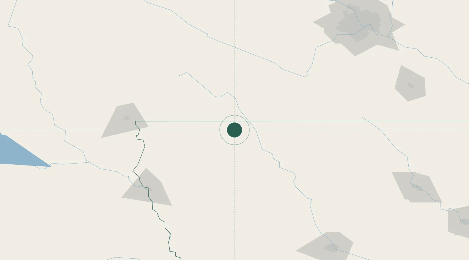
Arnolds Park
43.3667°, -95.1167°
1,234
Population
2
Transport functions
Transport Functions
Road
Multimodal
Hub Profile
Place type
Populated place
Region
Iowa
Population
1,234
Time zone
America/Chicago
Elevation
434 m
Location
Nearby Logistics Neighbours
Cities
- 1Lake Park19 km
- 2Harris25 km
- 3Round Lake34 km
- 4Emmetsburg45 km
- 5Sibley51 km
Ports
- 1Superior444 km
- 2Duluth446 km
- 3Two Harbors488 km
- 4Ashland491 km
- 5Washburn495 km
Airports
Trade Zones
- 1FTZ No. 288 Northwest Iowa81 km
- 2FTZ No. 220 Sioux Falls137 km
- 3FTZ No. 107 Polk County221 km
- 4FTZ No. 119 Minneapolis-St. Paul233 km
- 5FTZ No. 175 Cedar Rapids313 km
DatabookThe Record of Consolidated Knowledge
United States beyond logistics?