Transport Functions
Rail
Road
Hub Profile
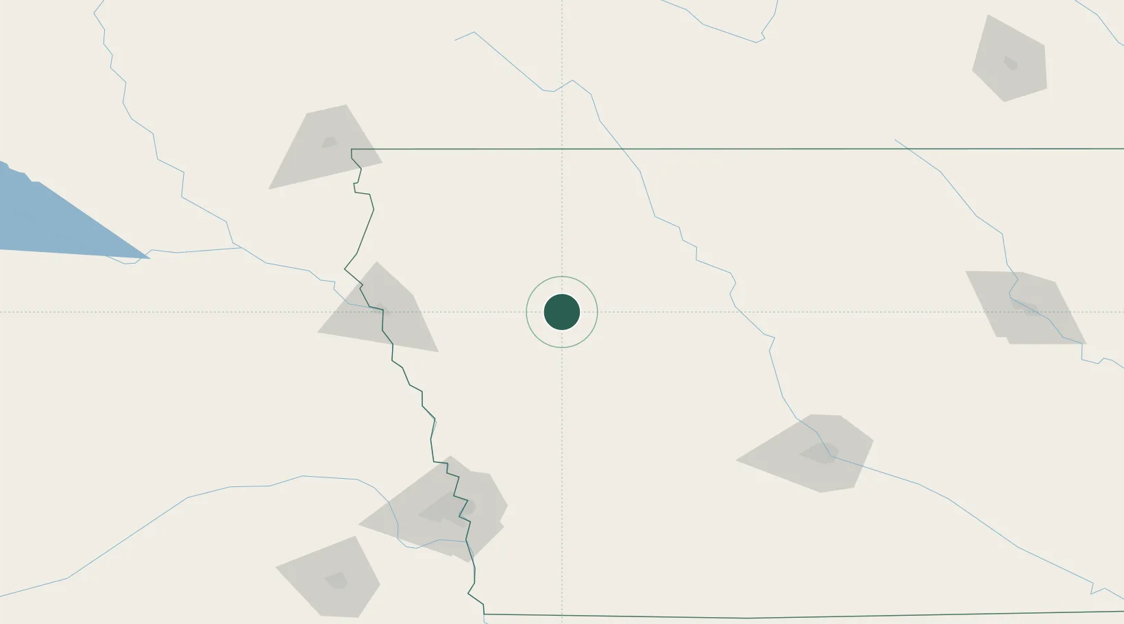
Place type
Populated place
Region
Iowa
Population
745
Time zone
America/Chicago
Elevation
430 m
Location
Nearby Logistics Neighbours
Cities
- 1Vail12 km
- 2Wall Lake28 km
- 3Schleswig37 km
- 4Sioux Rapids46 km
- 5Westside49 km
Ports
- 1Superior537 km
- 2Duluth539 km
- 3Ashland576 km
- 4Two Harbors580 km
- 5Washburn581 km
Airports
Trade Zones
- 1FTZ No. 288 Northwest Iowa99 km
- 2FTZ No. 107 Polk County158 km
- 3FTZ No. 220 Sioux Falls171 km
- 4FTZ No. 059 Lincoln227 km
- 5FTZ No. 133 Quad-Cities, Iowa Illinois274 km
DatabookThe Record of Consolidated Knowledge
United States beyond logistics?