Transport Functions
Rail
Road
Multimodal
Hub Profile
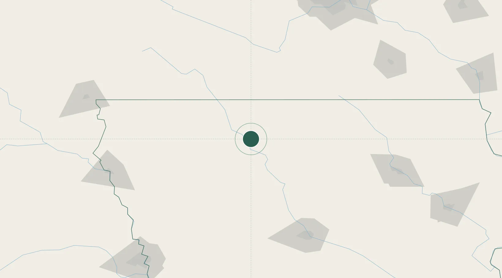
Place type
Populated place
Region
Iowa
Population
759
Time zone
America/Chicago
Elevation
363 m
Location
Nearby Logistics Neighbours
Cities
- 1Gilmore City26 km
- 2Emmetsburg28 km
- 3Bancroft41 km
- 4Armstrong48 km
- 5Goldfield49 km
Ports
- 1Superior460 km
- 2Duluth463 km
- 3Ashland494 km
- 4Washburn499 km
- 5Two Harbors502 km
Airports
Trade Zones
- 1FTZ No. 288 Northwest Iowa135 km
- 2FTZ No. 107 Polk County154 km
- 3FTZ No. 220 Sioux Falls203 km
- 4FTZ No. 175 Cedar Rapids242 km
- 5FTZ No. 119 Minneapolis-St. Paul244 km
DatabookThe Record of Consolidated Knowledge
United States beyond logistics?