Transport Functions
Multimodal
Hub Profile
Place type
Populated place
Region
Iowa
Population
424
Time zone
America/Chicago
Elevation
384 m
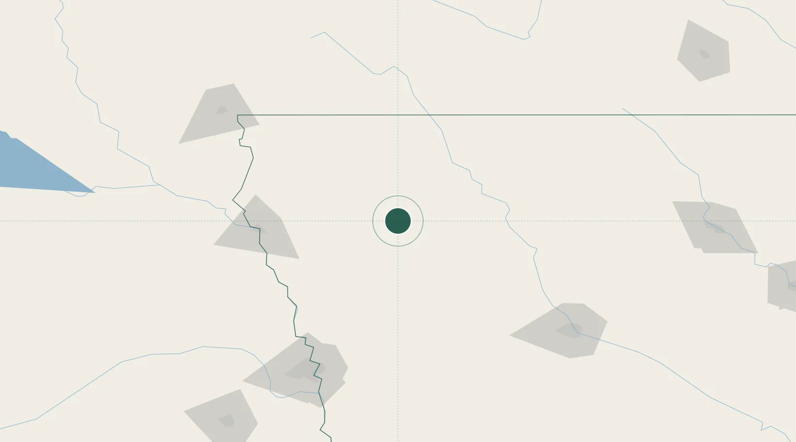
Location
Nearby Logistics Neighbours
Cities
- 1Schaller12 km
- 2Wall Lake34 km
- 3Sioux Rapids35 km
- 4Schleswig49 km
- 5Rockwell City50 km
Ports
- 1Superior525 km
- 2Duluth527 km
- 3Ashland564 km
- 4Two Harbors568 km
- 5Washburn569 km
Airports
Trade Zones
- 1FTZ No. 288 Northwest Iowa98 km
- 2FTZ No. 107 Polk County157 km
- 3FTZ No. 220 Sioux Falls171 km
- 4FTZ No. 059 Lincoln239 km
- 5FTZ No. 133 Quad-Cities, Iowa Illinois285 km
DatabookThe Record of Consolidated Knowledge
United States beyond logistics?