UN/LOCODE hub · United States
USEMG
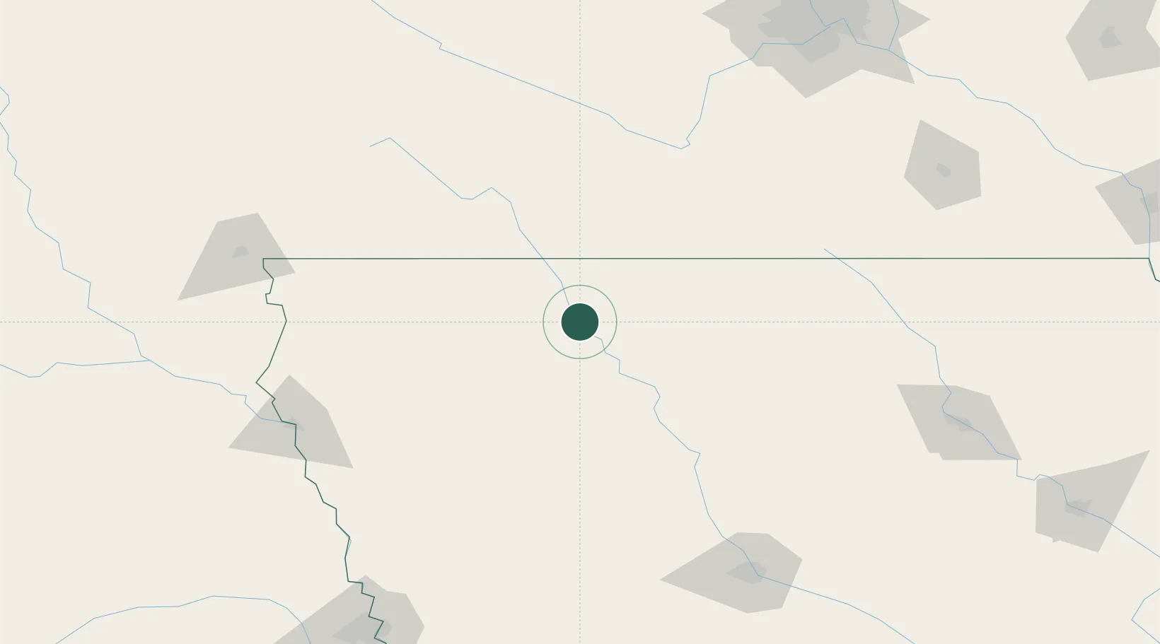
Emmetsburg
43.1167°, -94.6833°
3,811
Population
4
Transport functions
Transport Functions
Port
Rail
Road
Multimodal
Hub Profile
Place type
Provincial seat
Region
Iowa
Population
3,811
Time zone
America/Chicago
Elevation
377 m
Location
Nearby Logistics Neighbours
Cities
- 1West Bend28 km
- 2Armstrong35 km
- 3Bancroft42 km
- 4Arnolds Park45 km
- 5Sioux Rapids46 km
Ports
- 1Superior452 km
- 2Duluth454 km
- 3Ashland490 km
- 4Two Harbors495 km
- 5Washburn495 km
Airports
Trade Zones
- 1FTZ No. 288 Northwest Iowa113 km
- 2FTZ No. 220 Sioux Falls177 km
- 3FTZ No. 107 Polk County179 km
- 4FTZ No. 119 Minneapolis-St. Paul236 km
- 5FTZ No. 175 Cedar Rapids269 km
DatabookThe Record of Consolidated Knowledge
United States beyond logistics?