Transport Functions
Road
Multimodal
Hub Profile
Place type
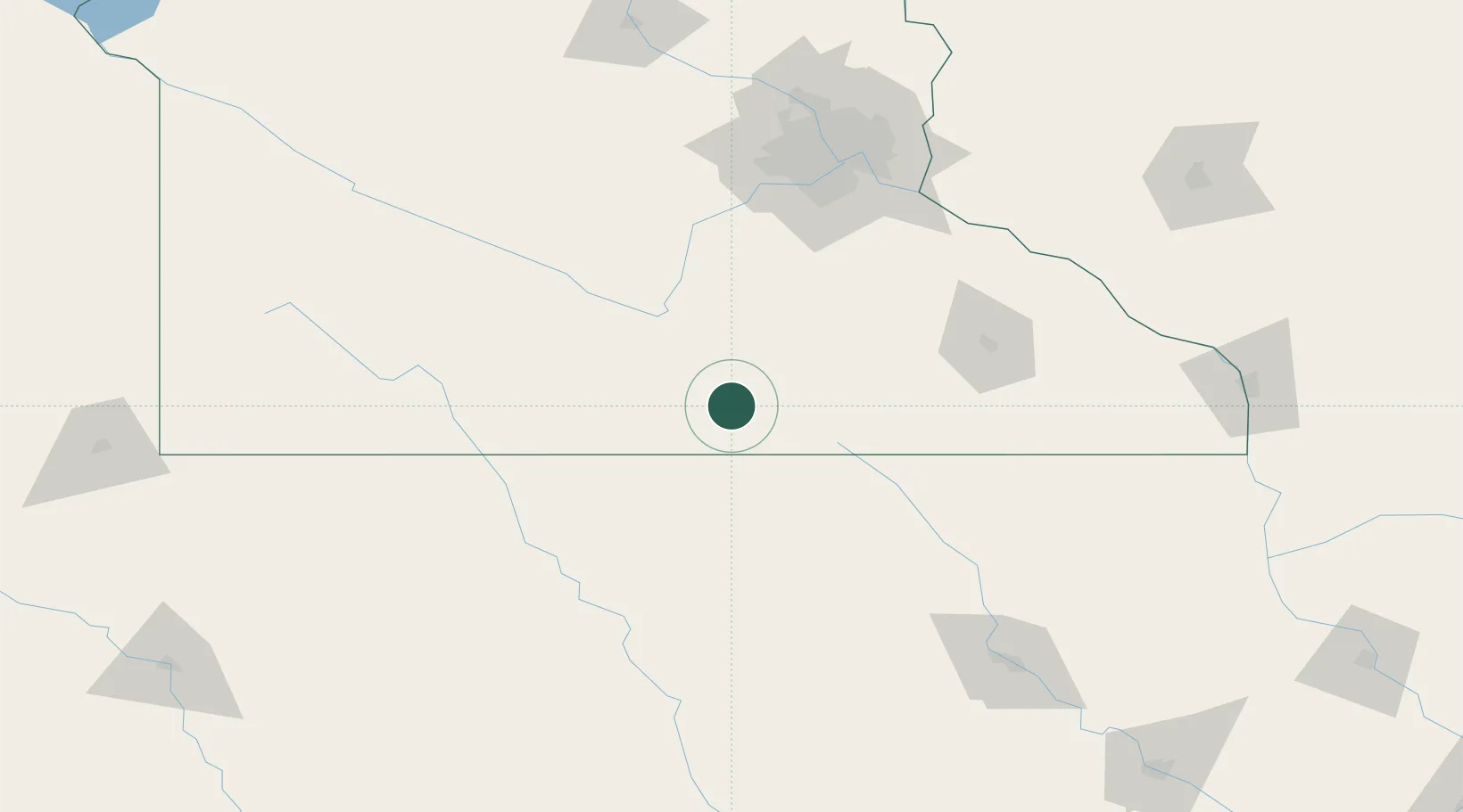
Populated place
Region
Minnesota
Population
2,247
Time zone
America/Chicago
Elevation
353 m
Location
Nearby Logistics Neighbours
Cities
- 1Alden13 km
- 2Hartland20 km
- 3Mapleton28 km
- 4Blue Earth33 km
- 5Winnebago, Faribault38 km
Ports
- 1Superior358 km
- 2Duluth360 km
- 3Ashland389 km
- 4Washburn395 km
- 5Two Harbors399 km
Airports
Trade Zones
- 1FTZ No. 119 Minneapolis-St. Paul143 km
- 2FTZ No. 288 Northwest Iowa201 km
- 3FTZ No. 107 Polk County229 km
- 4FTZ No. 220 Sioux Falls248 km
- 5FTZ No. 175 Cedar Rapids251 km
DatabookThe Record of Consolidated Knowledge
United States beyond logistics?