Transport Functions
Port
Road
Multimodal
Hub Profile
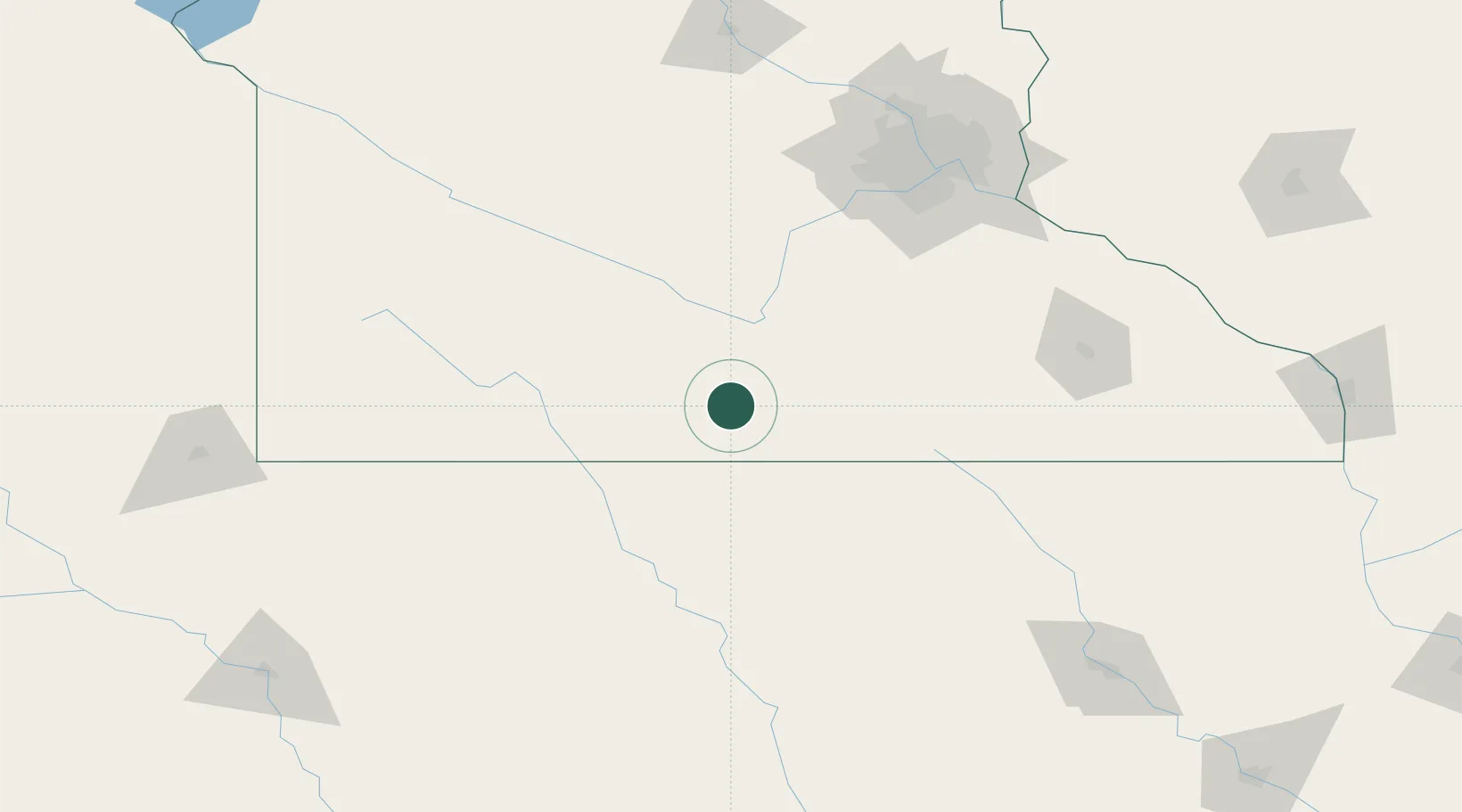
Region
MN
Location
Nearby Logistics Neighbours
Cities
- 1Blue Earth16 km
- 2Truman21 km
- 3Mapleton25 km
- 4Garden City30 km
- 5Wells38 km
Ports
- 1Superior369 km
- 2Duluth371 km
- 3Ashland408 km
- 4Two Harbors412 km
- 5Washburn413 km
Airports
Trade Zones
- 1FTZ No. 119 Minneapolis-St. Paul153 km
- 2FTZ No. 288 Northwest Iowa167 km
- 3FTZ No. 220 Sioux Falls211 km
- 4FTZ No. 107 Polk County236 km
- 5FTZ No. 175 Cedar Rapids279 km
DatabookThe Record of Consolidated Knowledge
United States beyond logistics?