Transport Functions
Rail
Road
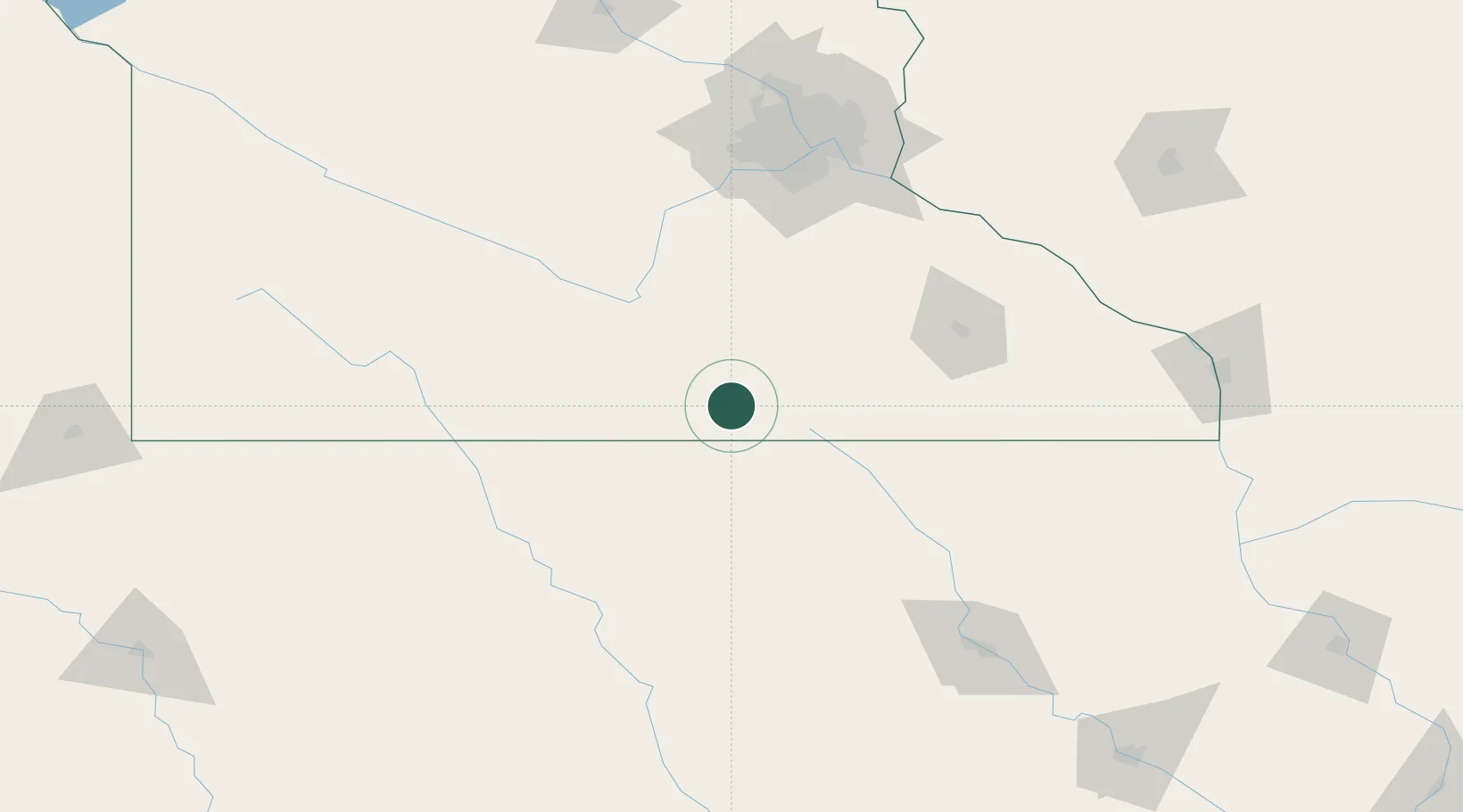
Hub Profile
Place type
Populated place
Region
Minnesota
Population
646
Time zone
America/Chicago
Elevation
387 m
Location
Nearby Logistics Neighbours
Cities
- 1Wells13 km
- 2Hartland17 km
- 3Lake Mills28 km
- 4Hope41 km
- 5Mapleton41 km
Ports
- 1Superior361 km
- 2Duluth364 km
- 3Ashland390 km
- 4Washburn395 km
- 5Two Harbors402 km
Airports
Trade Zones
- 1FTZ No. 119 Minneapolis-St. Paul147 km
- 2FTZ No. 288 Northwest Iowa209 km
- 3FTZ No. 107 Polk County222 km
- 4FTZ No. 175 Cedar Rapids239 km
- 5FTZ No. 220 Sioux Falls259 km
DatabookThe Record of Consolidated Knowledge
United States beyond logistics?