Large airport · United States
Minneapolis–Saint Paul International Airport / Wold–Chamberlain FieldKMSP
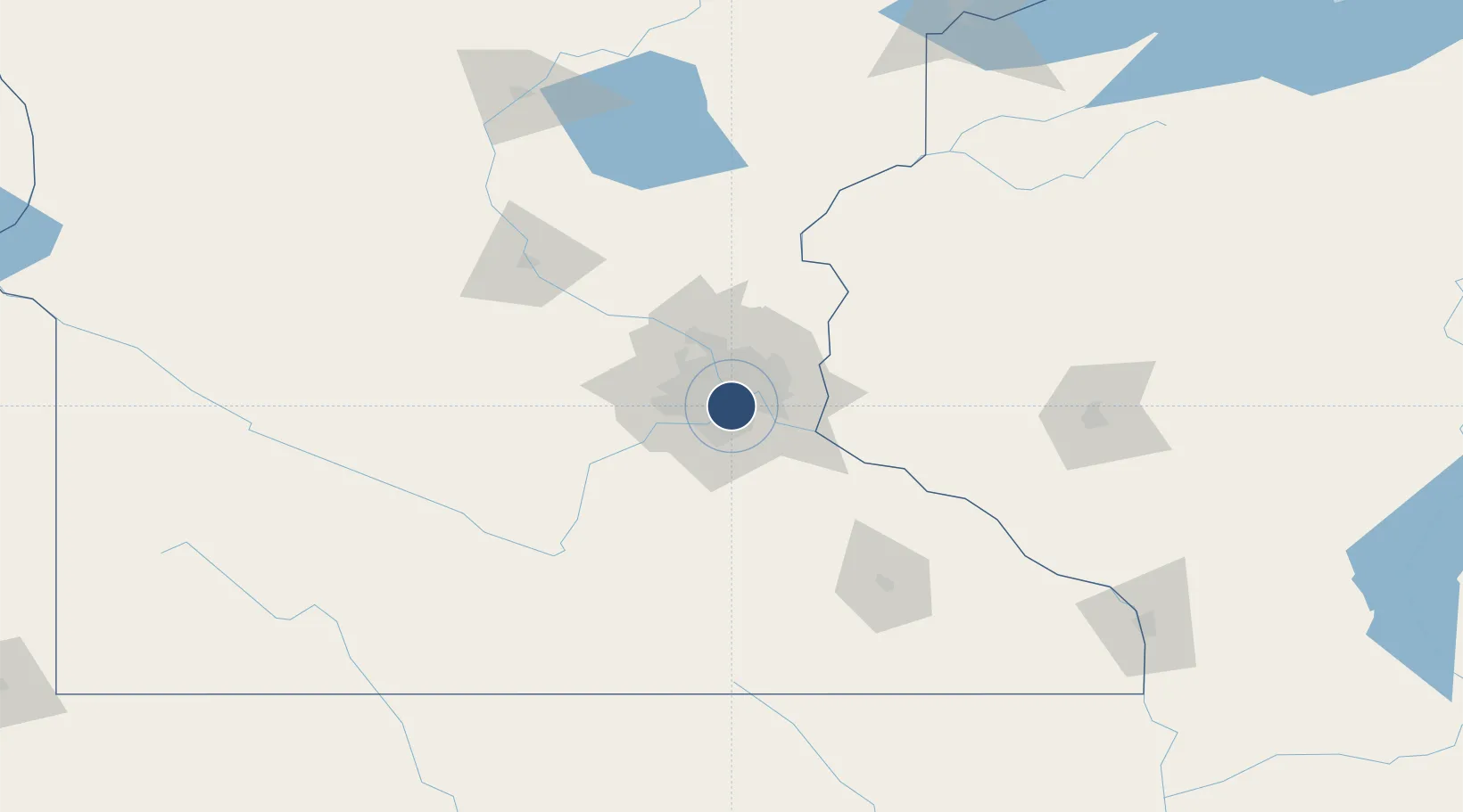
44.8801°, -93.2217°
11,006 ft
Longest runway
4
Runways
841 ft
Elevation
Runway & Layout

Radio Frequencies
ATIS
120.8 MHz
TWR
123.675 MHz
GND
121.8 MHz
CLD
133.2 MHz
CLNC DEL
APP
118.72 MHz
DEP
132.975 MHz
MISC
28.267 MHz
934 AW BASE OPS
OPS
31.12 MHz
133 AW COMD POST
POST
25.21 MHz
934 AW COMD POST
PTD
28.267 MHz
RDO
122.3 MHz
PRINCETON RDO
UNIC
122.95 MHz
UNICOM
Navaids
AP NDB Vagey 338 kHz
MS NDB Narco 266 kHz
MSP VOR-DME Minneapolis 115.30 MHz
Runways · 4
| Runway | Dimensions | Surface | True heading | Lit |
|---|---|---|---|---|
| 04/22 | 11,006 × 150ft | Concrete | 045° | ✓ |
| 12R/30L | 10,000 × 200ft | Asphalt / concrete | 121° | ✓ |
| 12L/30R | 8,200 × 150ft | Asphalt / concrete | 121° | ✓ |
| 17/35 | 8,000 × 150ft | Concrete | 170° | ✓ |
Airport Specifications
IATA code
MSP
ICAO code
KMSP
Airport class
Large airport
Scheduled service
Yes
Runway surface
Concrete
Served city
Minneapolis
Location
Nearby Logistics Neighbours
Airports
Cities
- 1Fort Snelling5 km
- 2Saint Paul7 km
- 3Mendota Heights7 km
- 4Dawson10 km
- 5West Saint Paul10 km
Ports
- 1Superior225 km
- 2Duluth227 km
- 3Ashland265 km
- 4Two Harbors267 km
- 5Washburn269 km
Trade Zones
- 1FTZ No. 119 Minneapolis-St. Paul10 km
- 2FTZ No. 051 Duluth223 km
- 3FTZ No. 288 Northwest Iowa298 km
- 4FTZ No. 220 Sioux Falls321 km
- 5FTZ No. 175 Cedar Rapids344 km
DatabookThe Record of Consolidated Knowledge
United States beyond logistics?