UN/LOCODE hub · United States
USXUY
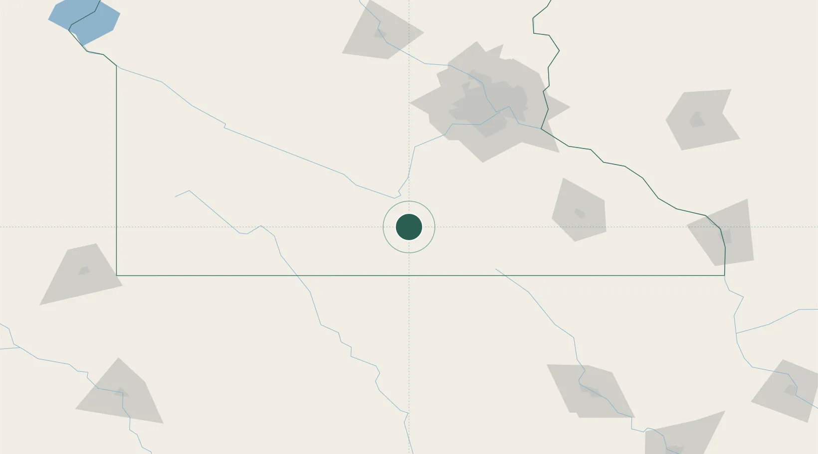
Mapleton
43.9167°, -93.9500°
1,731
Population
2
Transport functions
Transport Functions
Port
Road
Hub Profile
Place type
Populated place
Region
Minnesota
Population
1,731
Time zone
America/Chicago
Elevation
316 m
Location
Nearby Logistics Neighbours
Cities
- 1Garden City22 km
- 2Winnebago, Faribault25 km
- 3Wells28 km
- 4Blue Earth34 km
- 5Hartland40 km
Ports
- 1Superior346 km
- 2Duluth348 km
- 3Ashland384 km
- 4Two Harbors389 km
- 5Washburn389 km
Airports
Trade Zones
- 1FTZ No. 119 Minneapolis-St. Paul130 km
- 2FTZ No. 288 Northwest Iowa191 km
- 3FTZ No. 220 Sioux Falls232 km
- 4FTZ No. 107 Polk County250 km
- 5FTZ No. 175 Cedar Rapids279 km
DatabookThe Record of Consolidated Knowledge
United States beyond logistics?