UN/LOCODE hub · United States
USLUF
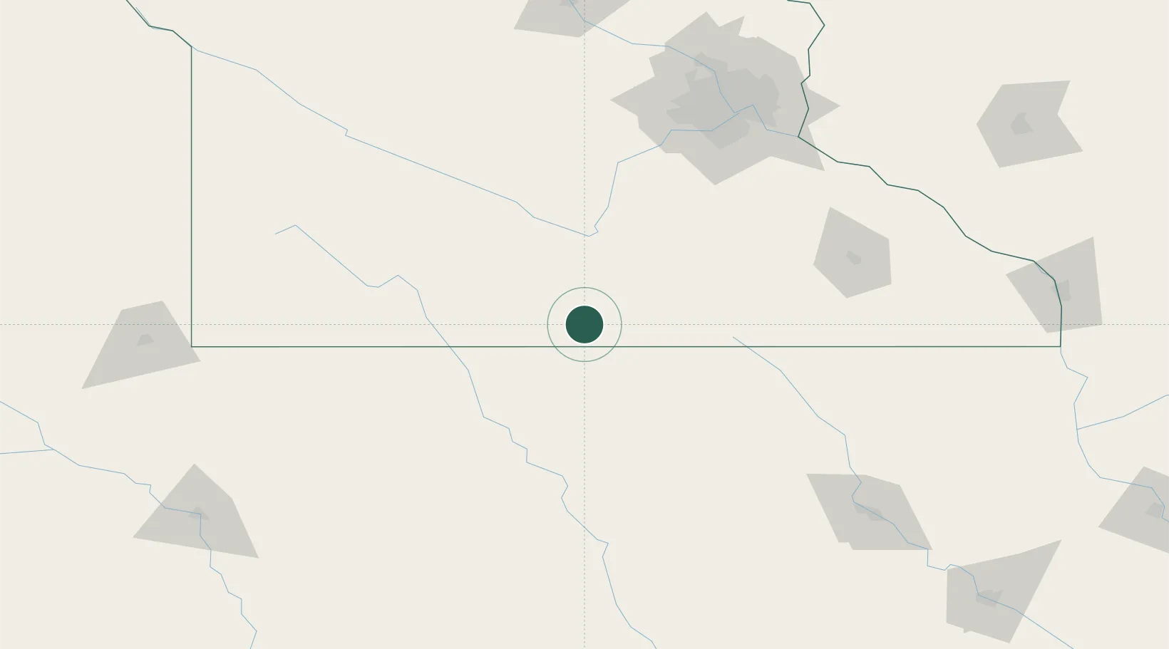
Blue Earth
43.6333°, -94.1000°
3,236
Population
4
Transport functions
Transport Functions
Port
Rail
Road
Multimodal
Hub Profile
Place type
Provincial seat
Region
Minnesota
Population
3,236
Time zone
America/Chicago
Elevation
332 m
Location
Nearby Logistics Neighbours
Cities
- 1Winnebago, Faribault16 km
- 2Wells33 km
- 3Truman34 km
- 4Mapleton34 km
- 5Bancroft40 km
Ports
- 1Superior380 km
- 2Duluth382 km
- 3Ashland416 km
- 4Washburn421 km
- 5Two Harbors422 km
Airports
Trade Zones
- 1FTZ No. 119 Minneapolis-St. Paul164 km
- 2FTZ No. 288 Northwest Iowa168 km
- 3FTZ No. 220 Sioux Falls217 km
- 4FTZ No. 107 Polk County220 km
- 5FTZ No. 175 Cedar Rapids264 km
DatabookThe Record of Consolidated Knowledge
United States beyond logistics?