Transport Functions
Road
Multimodal
Hub Profile
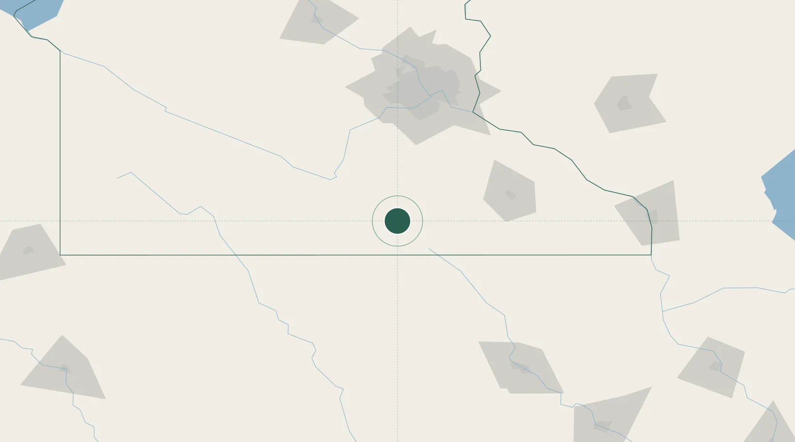
Place type
Populated place
Region
Minnesota
Population
309
Time zone
America/Chicago
Elevation
385 m
Location
Nearby Logistics Neighbours
Cities
- 1Alden17 km
- 2Wells20 km
- 3Hope24 km
- 4Blooming Prairie36 km
- 5Mapleton40 km
Ports
- 1Superior345 km
- 2Duluth347 km
- 3Ashland373 km
- 4Washburn378 km
- 5Two Harbors385 km
Airports
Trade Zones
- 1FTZ No. 119 Minneapolis-St. Paul132 km
- 2FTZ No. 288 Northwest Iowa221 km
- 3FTZ No. 107 Polk County237 km
- 4FTZ No. 175 Cedar Rapids246 km
- 5FTZ No. 220 Sioux Falls268 km
DatabookThe Record of Consolidated Knowledge
United States beyond logistics?