Transport Functions
Rail
Road
Multimodal
Hub Profile
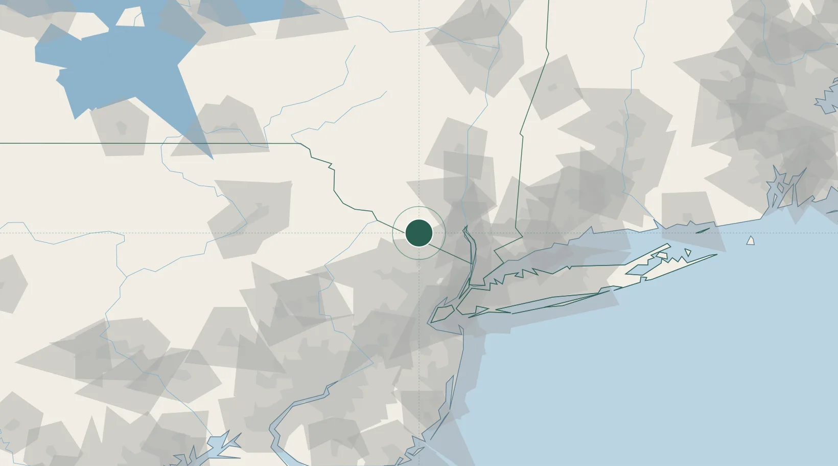
Place type
Populated place
Region
New York
Population
6,823
Time zone
America/New_York
Elevation
158 m
Location
Nearby Logistics Neighbours
Cities
- 1Sugar Loaf9 km
- 2Verno13 km
- 3Goshen17 km
- 4Phillipsburg20 km
- 5Hillburn21 km
Ports
- 1Newburgh40 km
- 2Yonkers52 km
- 3Edgewater57 km
- 4Poughkeepsie60 km
- 5Weehawken61 km
Airports
Trade Zones
DatabookThe Record of Consolidated Knowledge
United States beyond logistics?