Transport Functions
Rail
Road
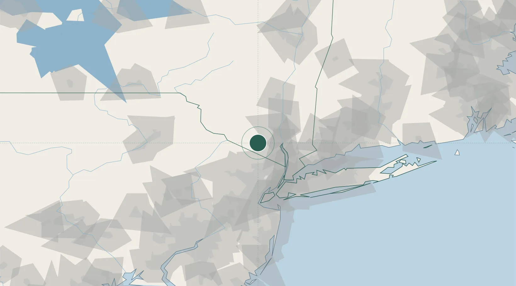
Hub Profile
Place type
Populated place
Region
New York
Time zone
America/New_York
Elevation
155 m
Location
Nearby Logistics Neighbours
Cities
- 1Warwick9 km
- 2Goshen10 km
- 3Central Valley14 km
- 4Phillipsburg14 km
- 5Campbell Hall15 km
Ports
- 1Newburgh31 km
- 2Poughkeepsie51 km
- 3Yonkers53 km
- 4Edgewater61 km
- 5Port Chester63 km
Airports
Trade Zones
DatabookThe Record of Consolidated Knowledge
United States beyond logistics?