Channel & Berth Profile
Pilotage, Tugs & Services
Pilotage compulsoryYES
Tug assistanceYES
Shore powerYES
Potable waterYES
Diesel bunkersYES
MedicalYES
Facilities & Capabilities
Container—
Ro-Ro—
Liquid bulk—
Dry bulk—
Oil terminal—
Break bulk—
Dry dock—
RepairsNO
BunkeringYES
Rail linkYES
Dangerous cargo—
ISPS security—
Harbour Specifications
Harbour size
Very Small
Harbour type
River (Natural)
Shelter
Good
Water body
North Atlantic Ocean
Tidal range
1.2 m
Overhead limit
Yes
Pilotage
Yes
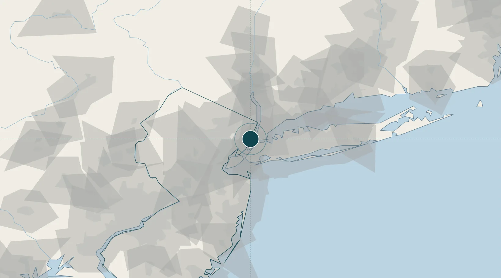
Location
Nearby Logistics Neighbours
Ports
- 1Weehawken6 km
- 2Hoboken8 km
- 3Jersey City12 km
- 4New York City13 km
- 5Yonkers15 km
Cities
- 1Fair View0 km
- 2Leonia4 km
- 3Manhattan/New York4 km
- 4Guttenberg4 km
- 5Port Morris, Bronx6 km
Airports
Trade Zones
DatabookThe Record of Consolidated Knowledge
United States beyond logistics?