UN/LOCODE hub · United States
USVR3

Verno

41.1833°, -74.4833°
2
Transport functions

Transport Functions

Road
Multimodal
UN/LOCODE

Hub Profile

Region
NJ
GeoNames

Location

Location of USVR3
Natural Earth 10m (public domain) · NJ · USVR3 · 41.18, -74.48GoogleOSMYandex

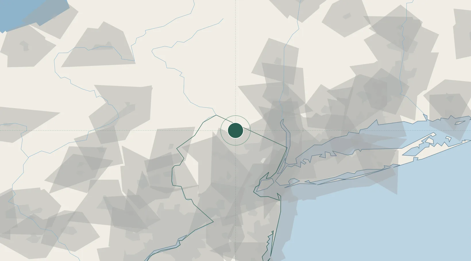
Nearby Logistics Neighbours

Cities
  1. 1Warwick13 km
  2. 2Ogdensburg15 km
  3. 3Green Pond19 km
  4. 4Sugar Loaf22 km
  5. 5Branchville23 km
Nearest neighbours — logibook spatial index (haversine) over the source coordinates
Ports
  1. 1Newburgh54 km
  2. 2Yonkers56 km
  3. 3Edgewater59 km
  4. 4Newark61 km
  5. 5Weehawken61 km
Nearest neighbours — logibook spatial index (haversine) over the source coordinates
Airports
  1. 1Morristown Municipal Airport43 km
  2. 2New York Stewart International Airport47 km
  3. 3Teterboro Airport51 km
  4. 4Newark Liberty International Airport61 km
  5. 5West 30th Street Heliport62 km
Nearest neighbours — logibook spatial index (haversine) over the source coordinates
Trade Zones
  1. 1FTZ No. 037 Orange County43 km
  2. 2FTZ No. 044 Morris County47 km
  3. 3FTZ No. 049 Newark Elizabeth61 km
  4. 4FTZ No. 001 New York City66 km
  5. 5FTZ No. 200 Mercer County105 km
Nearest neighbours — logibook spatial index (haversine) over the source coordinates
DatabookThe Record of Consolidated Knowledge
United States beyond logistics?
Browse databook

All Sources

LocationsUN/LOCODE
UN/LOCODE — free
Portsthe NGA World Port Index
Public domain (US gov)
AirportsOurAirports
Public domain
Trade Zonesthe World Bank SEZ database
CC BY 4.0
Trade ZonesOpen Zone Map
CC BY
← United States locations