Transport Functions
Rail
Road
Hub Profile
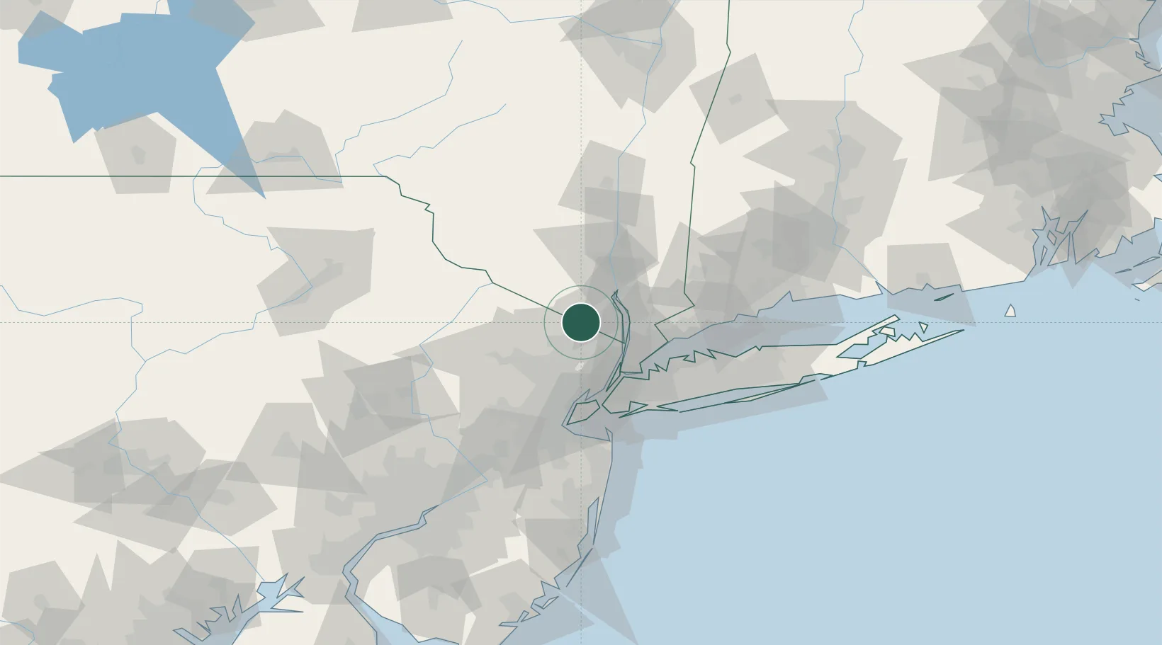
Place type
Populated place
Region
New York
Population
982
Time zone
America/New_York
Elevation
93 m
Location
Nearby Logistics Neighbours
Cities
- 1Spring Valley, Rockland10 km
- 2Saddle River12 km
- 3Wyckoff13 km
- 4Ho-Ho-Kus14 km
- 5Nanuet14 km
Ports
- 1Yonkers30 km
- 2Edgewater37 km
- 3Weehawken41 km
- 4Hoboken43 km
- 5City Island44 km
Airports
Trade Zones
DatabookThe Record of Consolidated Knowledge
United States beyond logistics?