UN/LOCODE hub · United States
USOEN

Goshen

41.4000°, -74.3167°
5,397
Population
4
Transport functions

Transport Functions

Port
Rail
Road
Multimodal
UN/LOCODE

Hub Profile

Place type
Provincial seat
GeoNames
Region
New York
GeoNames
Population
5,397
GeoNames
Time zone
America/New_York
GeoNames
Elevation
133 m
GeoNames

Location

Location of USOEN
Natural Earth 10m (public domain) · New York · USOEN · 41.40, -74.32GoogleOSMYandex

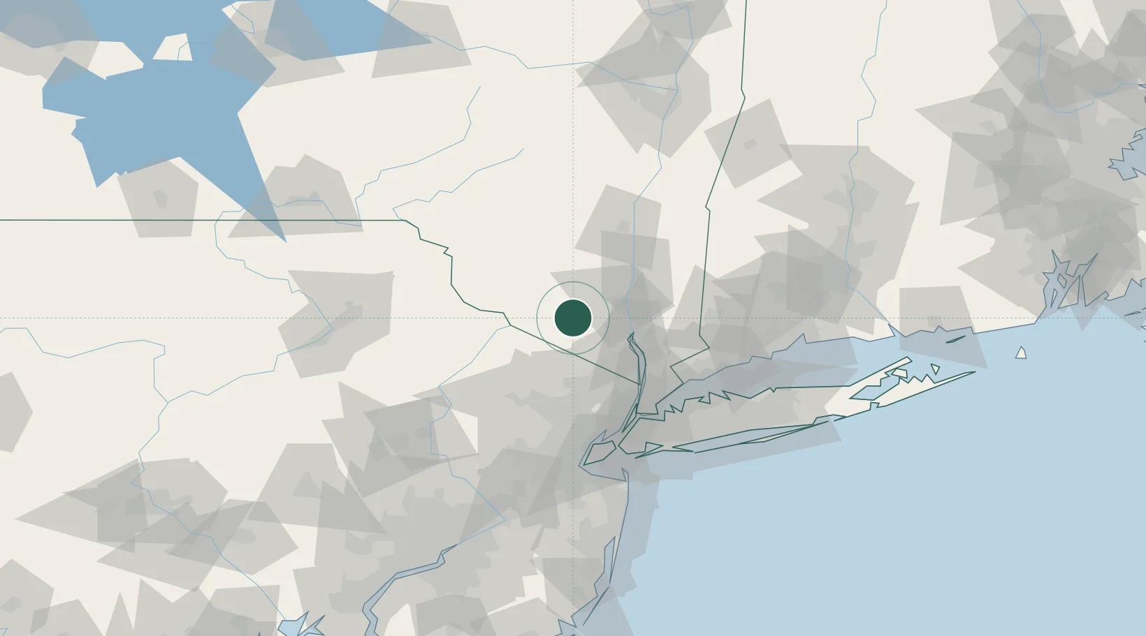
Nearby Logistics Neighbours

Cities
  1. 1Phillipsburg5 km
  2. 2Campbell Hall7 km
  3. 3Sugar Loaf10 km
  4. 4Rock Tavern12 km
  5. 5Warwick17 km
Nearest neighbours — logibook spatial index (haversine) over the source coordinates
Ports
  1. 1Newburgh29 km
  2. 2Poughkeepsie45 km
  3. 3Yonkers63 km
  4. 4Kingston66 km
  5. 5Port Chester70 km
Nearest neighbours — logibook spatial index (haversine) over the source coordinates
Airports
  1. 1New York Stewart International Airport21 km
  2. 2Dutchess County Airport44 km
  3. 3Westchester County Airport63 km
  4. 4Teterboro Airport65 km
  5. 5Morristown Municipal Airport67 km
Nearest neighbours — logibook spatial index (haversine) over the source coordinates
Trade Zones
  1. 1FTZ No. 037 Orange County50 km
  2. 2FTZ No. 044 Morris County75 km
  3. 3FTZ No. 049 Newark Elizabeth80 km
  4. 4FTZ No. 001 New York City81 km
  5. 5FTZ No. 076 Bridgeport97 km
Nearest neighbours — logibook spatial index (haversine) over the source coordinates
DatabookThe Record of Consolidated Knowledge
United States beyond logistics?
Browse databook

All Sources

LocationsUN/LOCODE
UN/LOCODE — free
LocationsGeoNames
CC BY 4.0
Portsthe NGA World Port Index
Public domain (US gov)
AirportsOurAirports
Public domain
Trade Zonesthe World Bank SEZ database
CC BY 4.0
Trade ZonesOpen Zone Map
CC BY
← United States locations