UN/LOCODE hub · United States
USWRE
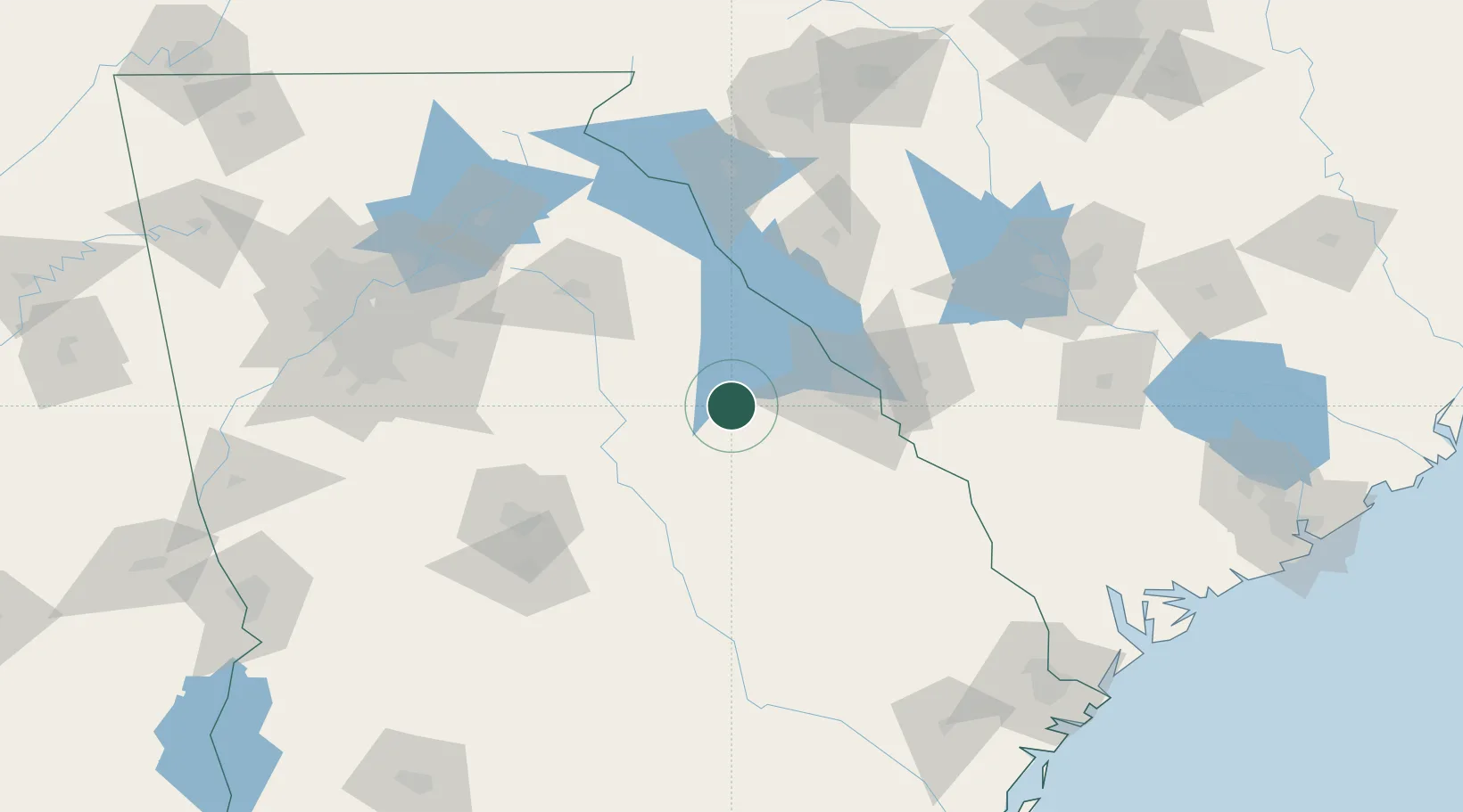
Warrenton
33.4000°, -82.6500°
1,812
Population
2
Transport functions
Transport Functions
Rail
Road
Hub Profile
Place type
Provincial seat
Region
Georgia
Population
1,812
Time zone
America/New_York
Elevation
159 m
Location
Nearby Logistics Neighbours
Cities
- 1Dearing25 km
- 2Crawfordville27 km
- 3Stapleton28 km
- 4Sparta34 km
- 5Washington38 km
Ports
- 1Savannah207 km
- 2Beaufort214 km
- 3Port Royal217 km
- 4Darien253 km
- 5Charleston264 km
Airports
- 1Daniel Field57 km
- 2Augusta Regional At Bush Field64 km
- 3Athens Ben Epps Airport87 km
- 4Anderson Regional Airport122 km
- 5Robins Air Force Base122 km
Trade Zones
- 1FTZ No. 127 West Columbia155 km
- 2FTZ No. 026 Atlanta166 km
- 3FTZ No. 038 Spartanburg County170 km
- 4FTZ No. 021 Dorchester County184 km
- 5FTZ No. 104 Savannah206 km
DatabookThe Record of Consolidated Knowledge
United States beyond logistics?