UN/LOCODE hub · United States
USFDI
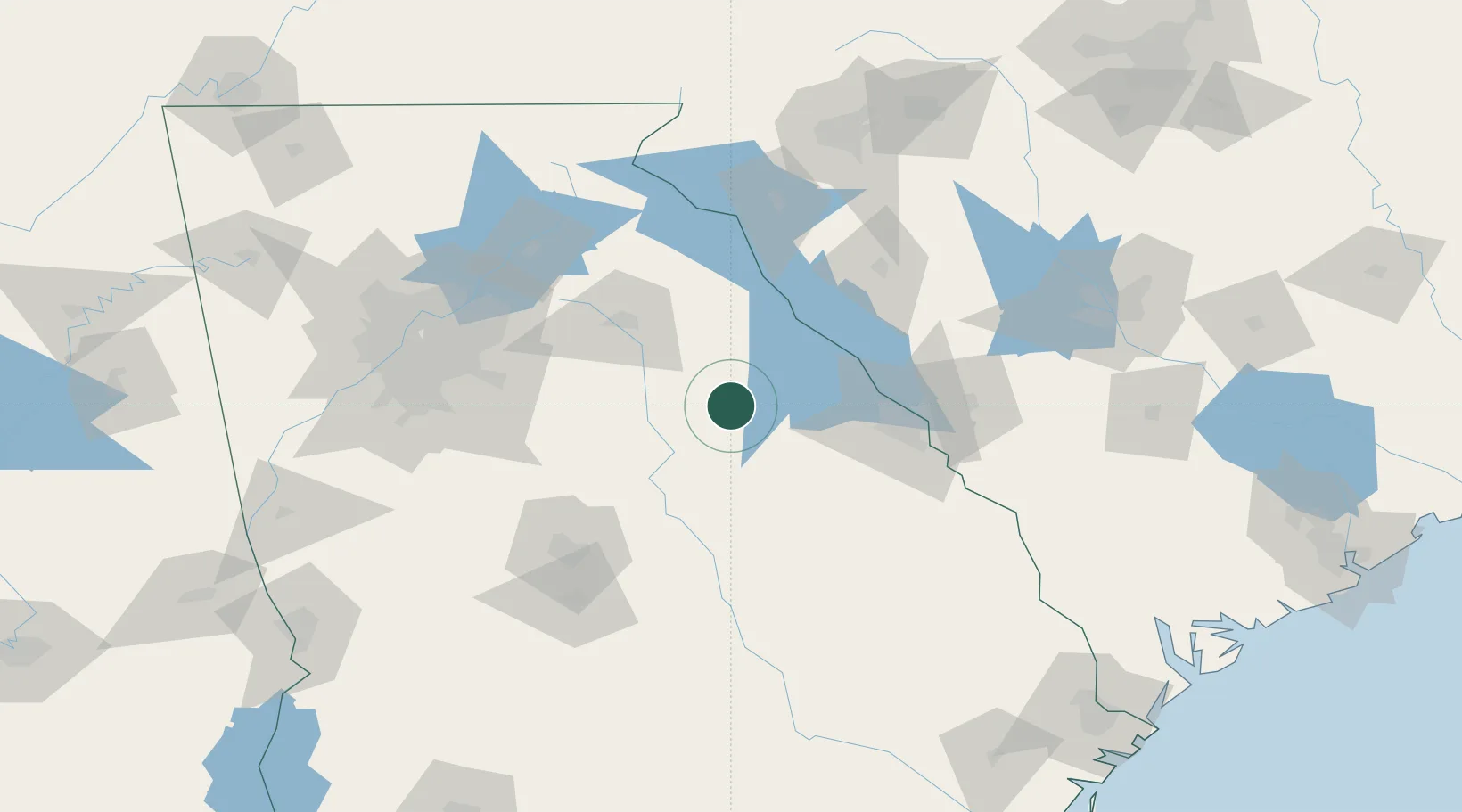
Crawfordville
33.5500°, -82.8833°
508
Population
2
Transport functions
Transport Functions
Road
Multimodal
Hub Profile
Place type
Provincial seat
Region
Georgia
Population
508
Time zone
America/New_York
Elevation
187 m
Location
Nearby Logistics Neighbours
Cities
- 1Washington25 km
- 2Warrenton27 km
- 3Sparta31 km
- 4Tignall38 km
- 5Dearing49 km
Ports
- 1Savannah234 km
- 2Beaufort241 km
- 3Port Royal244 km
- 4Darien278 km
- 5Charleston289 km
Airports
- 1Athens Ben Epps Airport60 km
- 2Daniel Field79 km
- 3Augusta Regional At Bush Field88 km
- 4Anderson Regional Airport106 km
- 5Middle Georgia Regional Airport119 km
Trade Zones
- 1FTZ No. 026 Atlanta142 km
- 2FTZ No. 038 Spartanburg County160 km
- 3FTZ No. 127 West Columbia170 km
- 4FTZ No. 021 Dorchester County208 km
- 5FTZ No. 104 Savannah233 km
DatabookThe Record of Consolidated Knowledge
United States beyond logistics?