Transport Functions
Road
Multimodal
Hub Profile
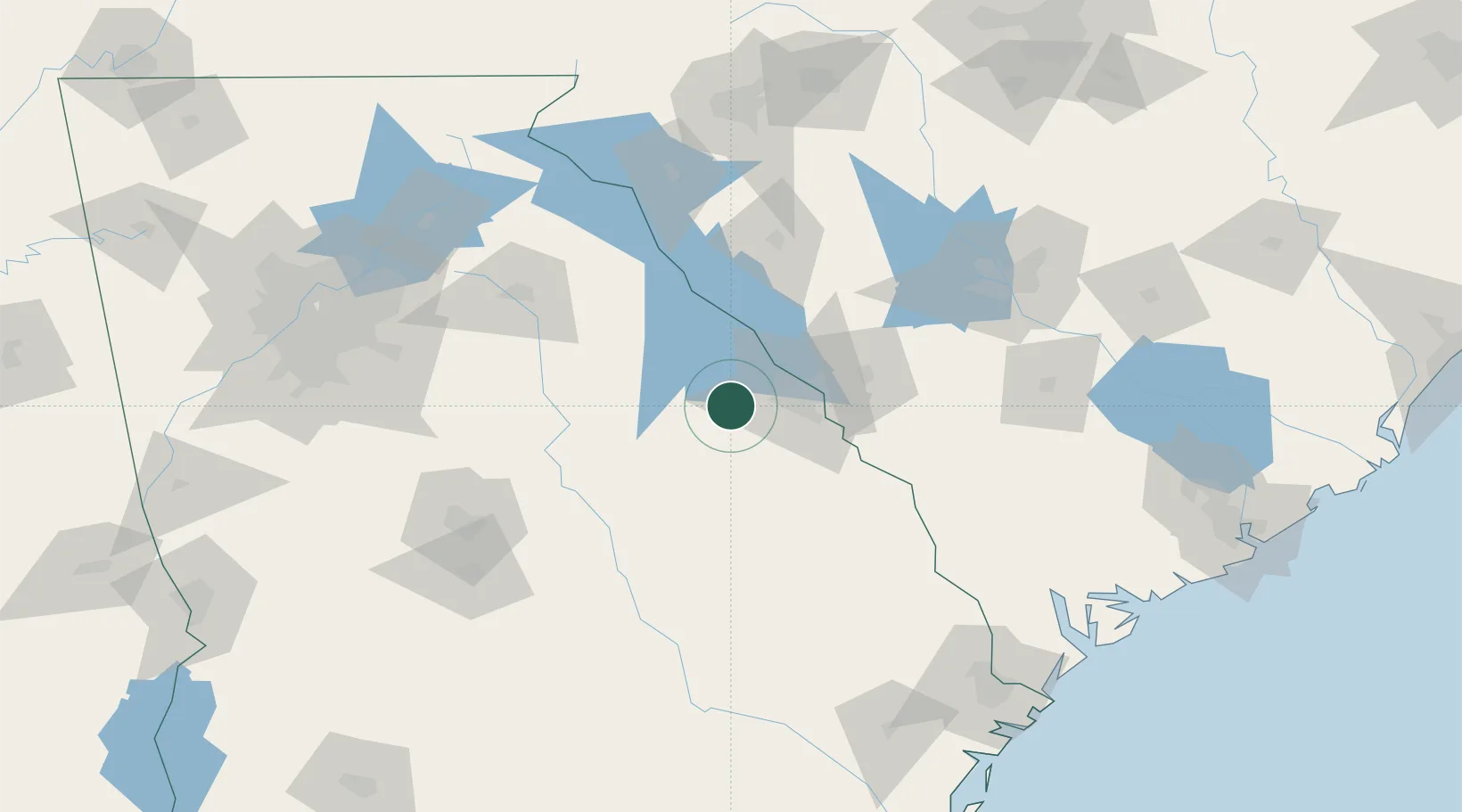
Place type
Populated place
Region
Georgia
Population
547
Time zone
America/New_York
Elevation
143 m
Location
Nearby Logistics Neighbours
Cities
- 1Grovetown19 km
- 2Fort Gordon22 km
- 3Warrenton25 km
- 4Stapleton25 km
- 5Martinez31 km
Ports
- 1Savannah192 km
- 2Beaufort194 km
- 3Port Royal197 km
- 4Charleston240 km
- 5Darien245 km
Airports
- 1Daniel Field32 km
- 2Augusta Regional At Bush Field39 km
- 3Athens Ben Epps Airport105 km
- 4Anderson Regional Airport124 km
- 5Columbia Metropolitan Airport130 km
Trade Zones
- 1FTZ No. 127 West Columbia133 km
- 2FTZ No. 021 Dorchester County160 km
- 3FTZ No. 038 Spartanburg County164 km
- 4FTZ No. 026 Atlanta190 km
- 5FTZ No. 104 Savannah190 km
DatabookThe Record of Consolidated Knowledge
United States beyond logistics?