UN/LOCODE hub · United States
USWO4
Birnamwood
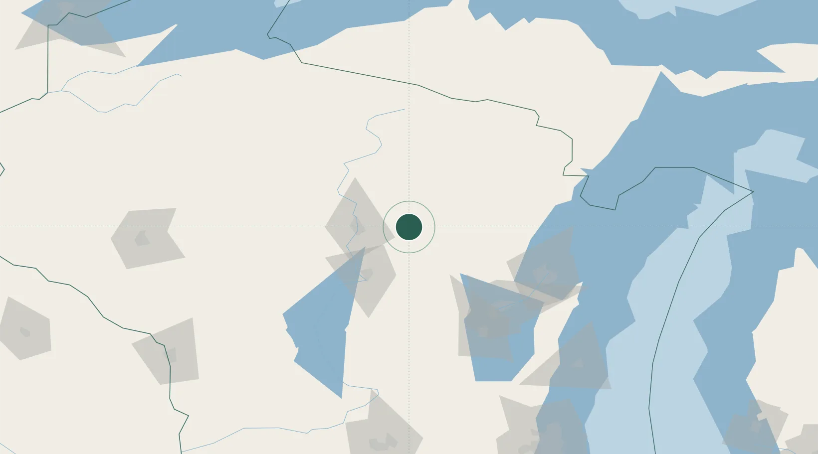
44.9333°, -89.2000°
798
Population
2
Transport functions
Transport Functions
Port
Multimodal
Hub Profile
Place type
Populated place
Region
Wisconsin
Population
798
Time zone
America/Chicago
Elevation
398 m
Location
Nearby Logistics Neighbours
Cities
- 1Wittenberg13 km
- 2Ringle18 km
- 3Bowler19 km
- 4Bryant33 km
- 5Marion39 km
Airports
Trade Zones
- 1FTZ No. 167 Brown County89 km
- 2FTZ No. 266 Dane County211 km
- 3FTZ No. 041 Milwaukee226 km
- 4FTZ No. 019 Omaha267 km
- 5FTZ No. 176 Rockford298 km
DatabookThe Record of Consolidated Knowledge
United States beyond logistics?