Channel & Berth Profile
Pilotage, Tugs & Services
Pilotage compulsoryYES
Tug assistanceYES
Potable waterYES
Diesel bunkersYES
MedicalYES
Facilities & Capabilities
ContainerNO
Ro-RoNO
Liquid bulkNO
Dry bulkYES
Oil terminalNO
Break bulkYES
Dry dock—
RepairsNO
BunkeringYES
Rail linkYES
Dangerous cargoALLOW
ISPS security—
Harbour Specifications
Harbour size
Small
Harbour type
River (Natural)
Shelter
Good
Water body
Lake Michigan; Great Lakes
Overhead limit
Yes
Pilotage
Yes
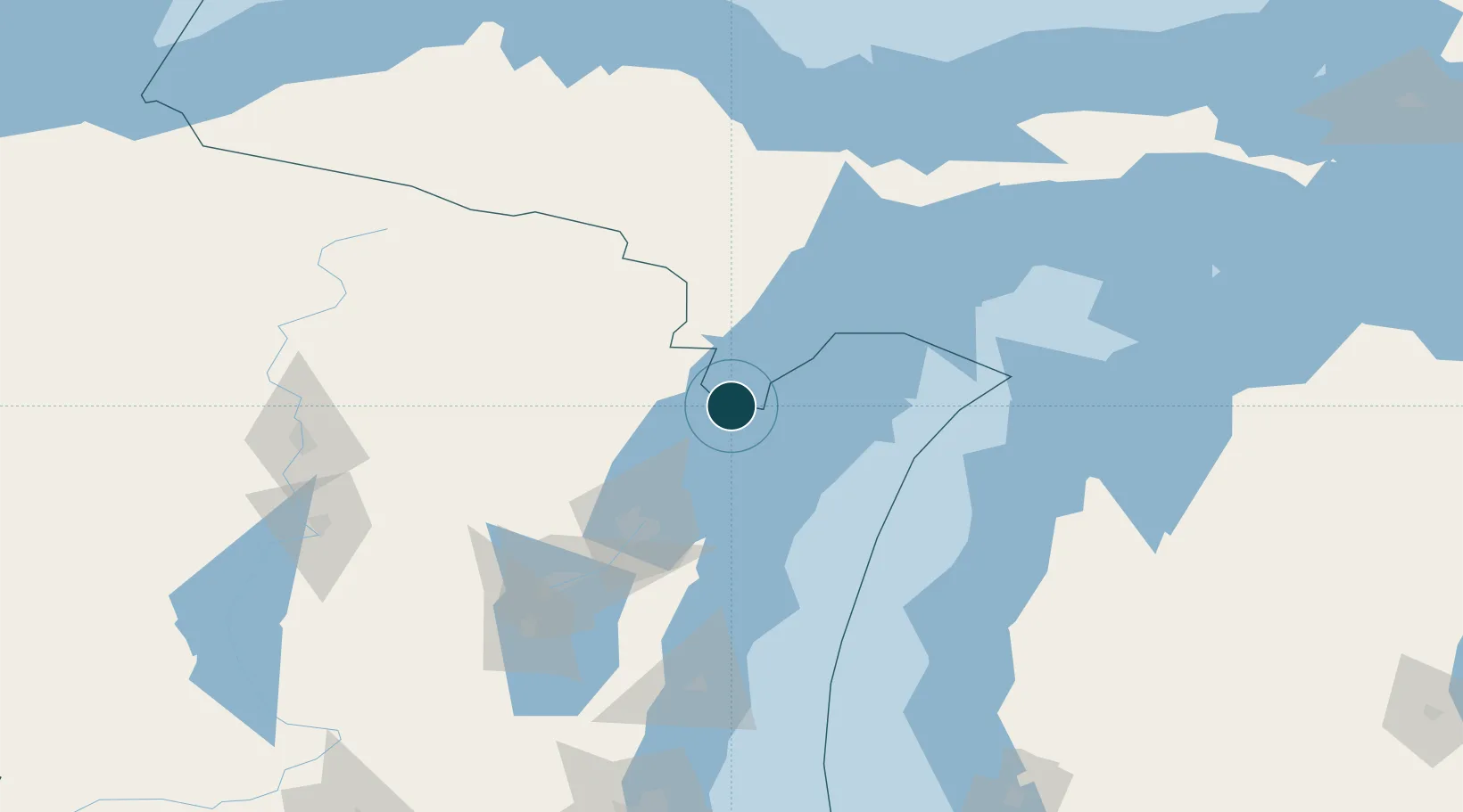
Location
Nearby Logistics Neighbours
Ports
- 1Marinette2 km
- 2Oconto29 km
- 3Sturgeon Bay33 km
- 4Algoma56 km
- 5Kewaunee70 km
Cities
- 1Stephenson34 km
- 2Pound35 km
- 3Coleman35 km
- 4Crivitz36 km
- 5Cedar River39 km
Airports
Trade Zones
- 1FTZ No. 167 Brown County90 km
- 2FTZ No. 019 Omaha211 km
- 3FTZ No. 041 Milwaukee230 km
- 4FTZ No. 189 Kent Ottawa/Muskegon Counties231 km
- 5FTZ No. 266 Dane County282 km
DatabookThe Record of Consolidated Knowledge
United States beyond logistics?