UN/LOCODE hub · United States
USWB2
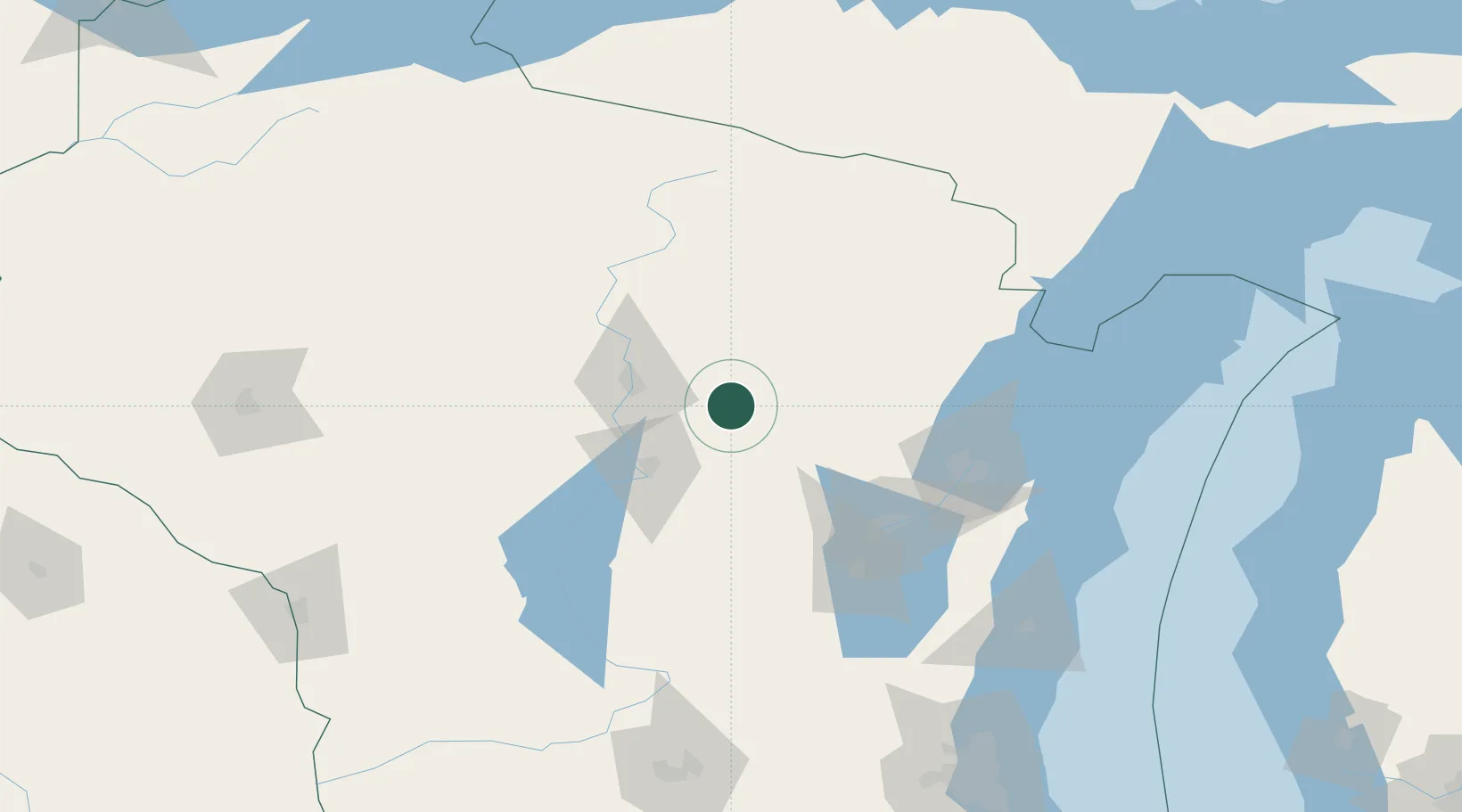
Wittenberg
44.8167°, -89.1667°
1,022
Population
2
Transport functions
Transport Functions
Rail
Road
Hub Profile
Place type
Populated place
Region
Wisconsin
Population
1,022
Time zone
America/Chicago
Elevation
358 m
Location
Nearby Logistics Neighbours
Cities
- 1Birnamwood13 km
- 2Bowler16 km
- 3Ringle21 km
- 4Marion28 km
- 5Custer39 km
Airports
Trade Zones
- 1FTZ No. 167 Brown County80 km
- 2FTZ No. 266 Dane County199 km
- 3FTZ No. 041 Milwaukee213 km
- 4FTZ No. 019 Omaha257 km
- 5FTZ No. 176 Rockford285 km
DatabookThe Record of Consolidated Knowledge
United States beyond logistics?