Transport Functions
Rail
Road
Hub Profile
Place type
Populated place
Region
Wisconsin
Population
298
Time zone
America/Chicago
Elevation
327 m
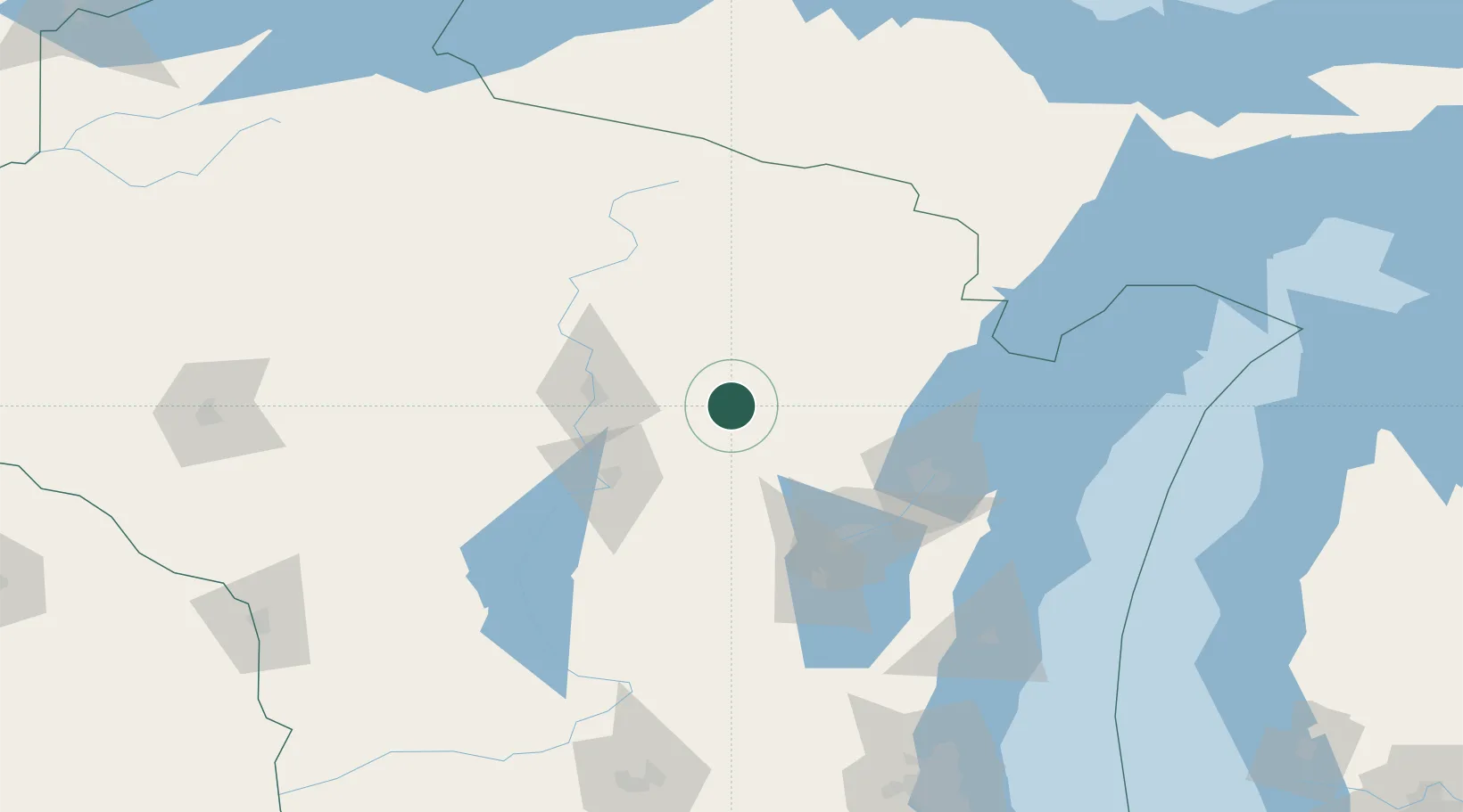
Location
Nearby Logistics Neighbours
Cities
- 1Wittenberg16 km
- 2Birnamwood19 km
- 3Marion24 km
- 4Ringle34 km
- 5White Lake37 km
Airports
Trade Zones
- 1FTZ No. 167 Brown County71 km
- 2FTZ No. 266 Dane County208 km
- 3FTZ No. 041 Milwaukee213 km
- 4FTZ No. 019 Omaha250 km
- 5FTZ No. 189 Kent Ottawa/Muskegon Counties281 km
DatabookThe Record of Consolidated Knowledge
United States beyond logistics?