UN/LOCODE hub · United States
USRAF

Ringle

44.8833°, -89.4167°
2
Transport functions

Transport Functions

Port
Road
UN/LOCODE

Hub Profile

Place type
Populated place
GeoNames
Region
Wisconsin
GeoNames
Time zone
America/Chicago
GeoNames
Elevation
405 m
GeoNames

Location

Location of USRAF
Natural Earth 10m (public domain) · Wisconsin · USRAF · 44.88, -89.42GoogleOSMYandex

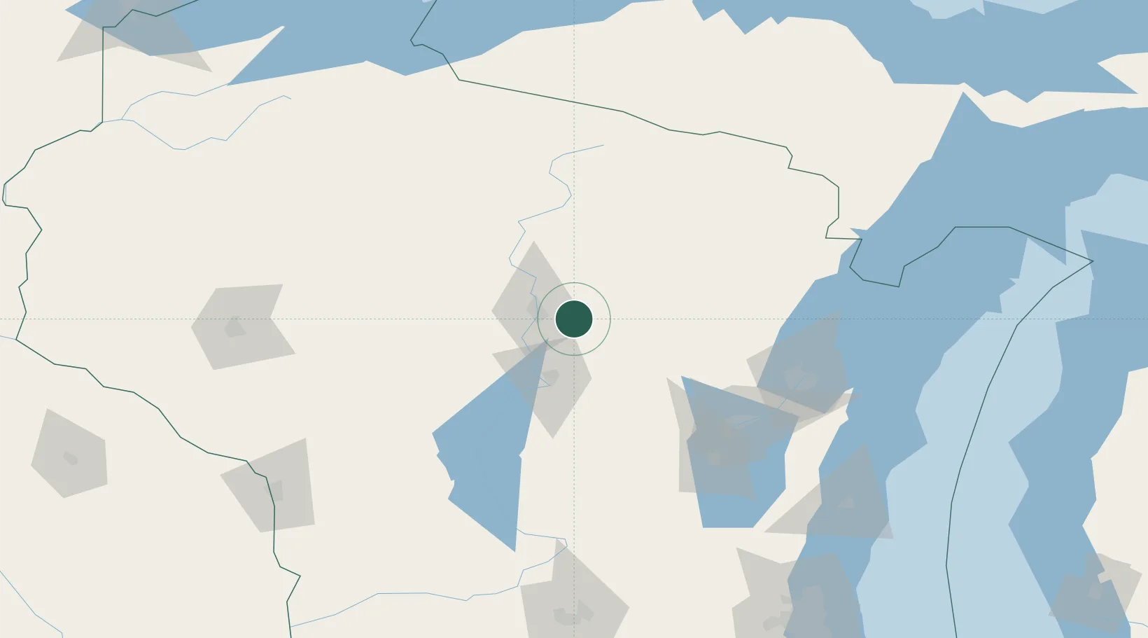
Nearby Logistics Neighbours

Cities
  1. 1Birnamwood18 km
  2. 2Wittenberg21 km
  3. 3Mosinee25 km
  4. 4Bowler34 km
  5. 5Custer41 km
Nearest neighbours — logibook spatial index (haversine) over the source coordinates
Ports
  1. 1Kaukauna113 km
  2. 2Green Bay118 km
  3. 3Oconto125 km
  4. 4Marinette145 km
  5. 5Menominee146 km
Nearest neighbours — logibook spatial index (haversine) over the source coordinates
Airports
  1. 1Wausau Downtown Airport17 km
  2. 2Central Wisconsin Airport23 km
  3. 3Rhinelander Oneida County Airport83 km
  4. 4Appleton International Airport99 km
  5. 5Austin Straubel International Airport111 km
Nearest neighbours — logibook spatial index (haversine) over the source coordinates
Trade Zones
  1. 1FTZ No. 167 Brown County101 km
  2. 2FTZ No. 266 Dane County203 km
  3. 3FTZ No. 041 Milwaukee228 km
  4. 4FTZ No. 019 Omaha277 km
  5. 5FTZ No. 176 Rockford293 km
Nearest neighbours — logibook spatial index (haversine) over the source coordinates
DatabookThe Record of Consolidated Knowledge
United States beyond logistics?
Browse databook

All Sources

LocationsUN/LOCODE
UN/LOCODE — free
Portsthe NGA World Port Index
Public domain (US gov)
AirportsOurAirports
Public domain
Trade Zonesthe World Bank SEZ database
CC BY 4.0
Trade ZonesOpen Zone Map
CC BY
← United States locations