Transport Functions
Rail
Road
Hub Profile
Place type
Populated place
Region
Wisconsin
Time zone
America/Chicago
Elevation
484 m
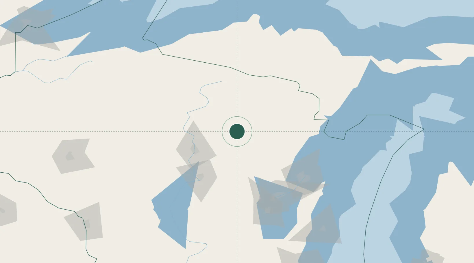
Location
Nearby Logistics Neighbours
Cities
- 1Pearson17 km
- 2White Lake22 km
- 3Birnamwood33 km
- 4Bowler37 km
- 5Crandon42 km
Airports
Trade Zones
- 1FTZ No. 167 Brown County101 km
- 2FTZ No. 266 Dane County243 km
- 3FTZ No. 041 Milwaukee249 km
- 4FTZ No. 019 Omaha278 km
- 5FTZ No. 051 Duluth305 km
DatabookThe Record of Consolidated Knowledge
United States beyond logistics?