UN/LOCODE hub · United States
USNFW
North Freedom
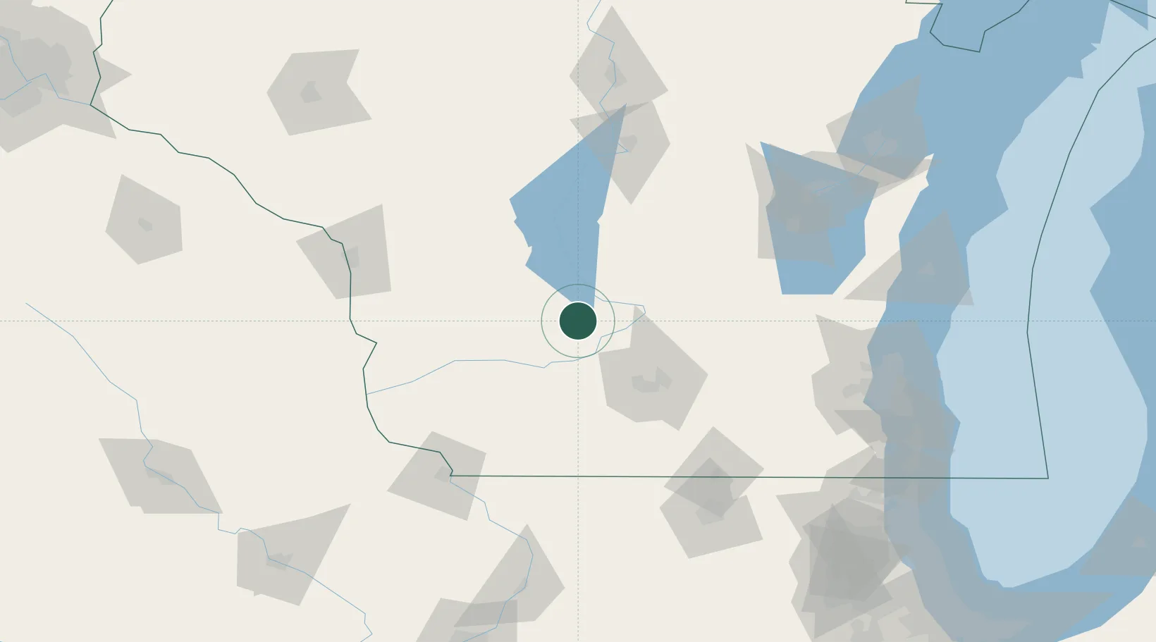
43.4500°, -89.8667°
706
Population
2
Transport functions
Transport Functions
Rail
Road
Hub Profile
Place type
Populated place
Region
Wisconsin
Population
706
Time zone
America/Chicago
Elevation
268 m
Location
Nearby Logistics Neighbours
Cities
- 1Rock Springs6 km
- 2Reedsburg12 km
- 3Wisconsin Dells20 km
- 4Prairie du Sac22 km
- 5Sauk City24 km
Ports
- 1Kaukauna158 km
- 2Port Washington162 km
- 3Milwaukee167 km
- 4Sheboygan178 km
- 5Racine187 km
Airports
- 1Dane County Regional Truax Field55 km
- 2Volk Field63 km
- 3Wittman Regional Airport121 km
- 4La Crosse Regional Airport122 km
- 5Dubuque Regional Airport135 km
Trade Zones
- 1FTZ No. 266 Dane County44 km
- 2FTZ No. 271 Jo-Daviess and Carroll Counties130 km
- 3FTZ No. 176 Rockford144 km
- 4FTZ No. 041 Milwaukee149 km
- 5FTZ No. 167 Brown County169 km
DatabookThe Record of Consolidated Knowledge
United States beyond logistics?