UN/LOCODE hub · United States
USWL3
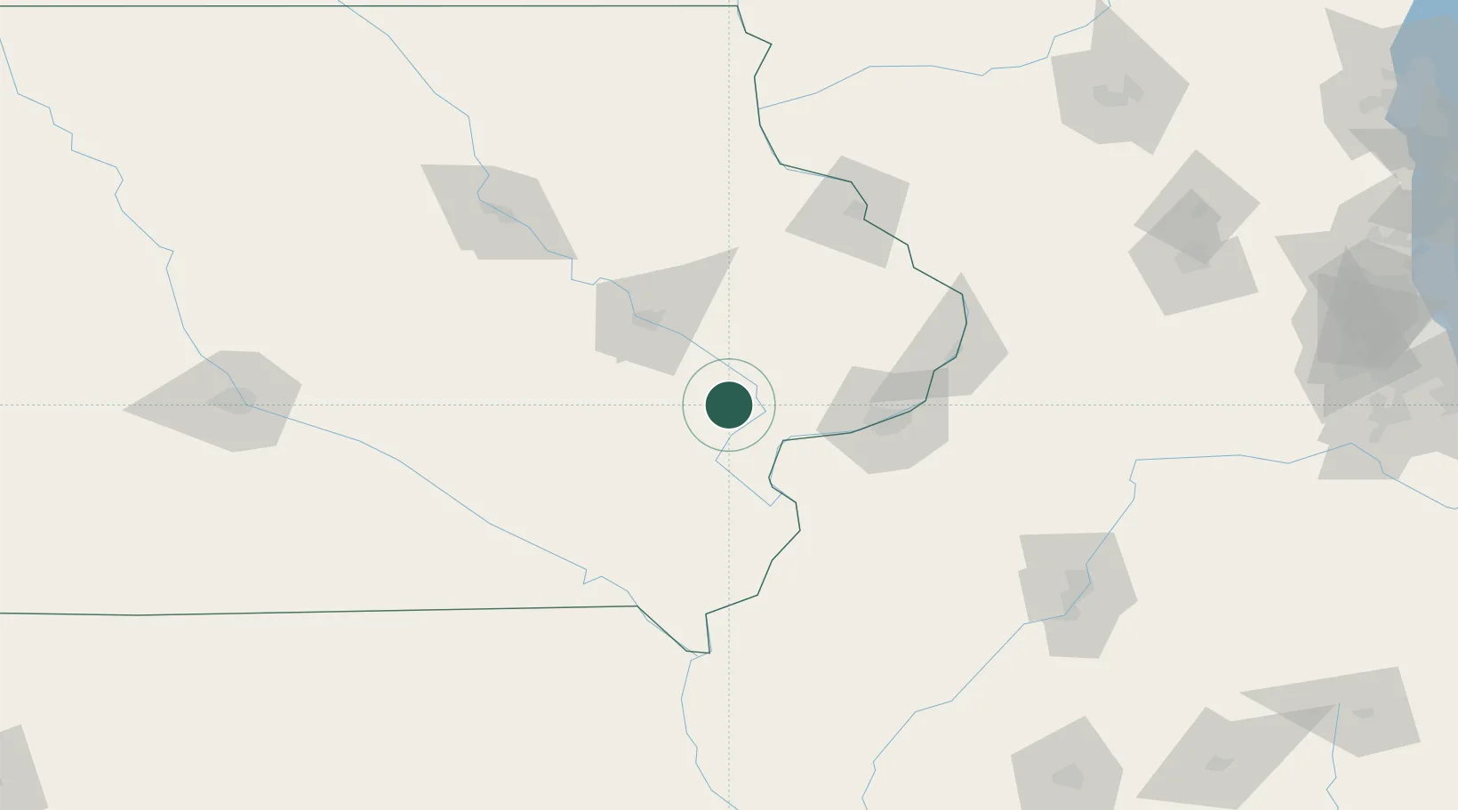
West Liberty
41.5842°, -91.2899°
3,728
Population
2
Transport functions
Transport Functions
Rail
Road
Hub Profile
Place type
Populated place
Region
Iowa
Population
3,728
Time zone
America/Chicago
Elevation
206 m
Logistics facilities
1
Location
Nearby Logistics Neighbours
Cities
- 1Moscow16 km
- 2Wilton23 km
- 3Riverside27 km
- 4New Liberty37 km
- 5Lisbon38 km
Ports
- 1Great Lakes297 km
- 2Waukegan300 km
- 3Wilmette304 km
- 4Kenosha307 km
- 5Chicago308 km
Airports
Trade Zones
- 1FTZ No. 175 Cedar Rapids60 km
- 2FTZ No. 055 Burlington87 km
- 3FTZ No. 271 Jo-Daviess and Carroll Counties119 km
- 4FTZ No. 114 Peoria173 km
- 5FTZ No. 176 Rockford188 km
DatabookThe Record of Consolidated Knowledge
United States beyond logistics?