Transport Functions
Port
Road
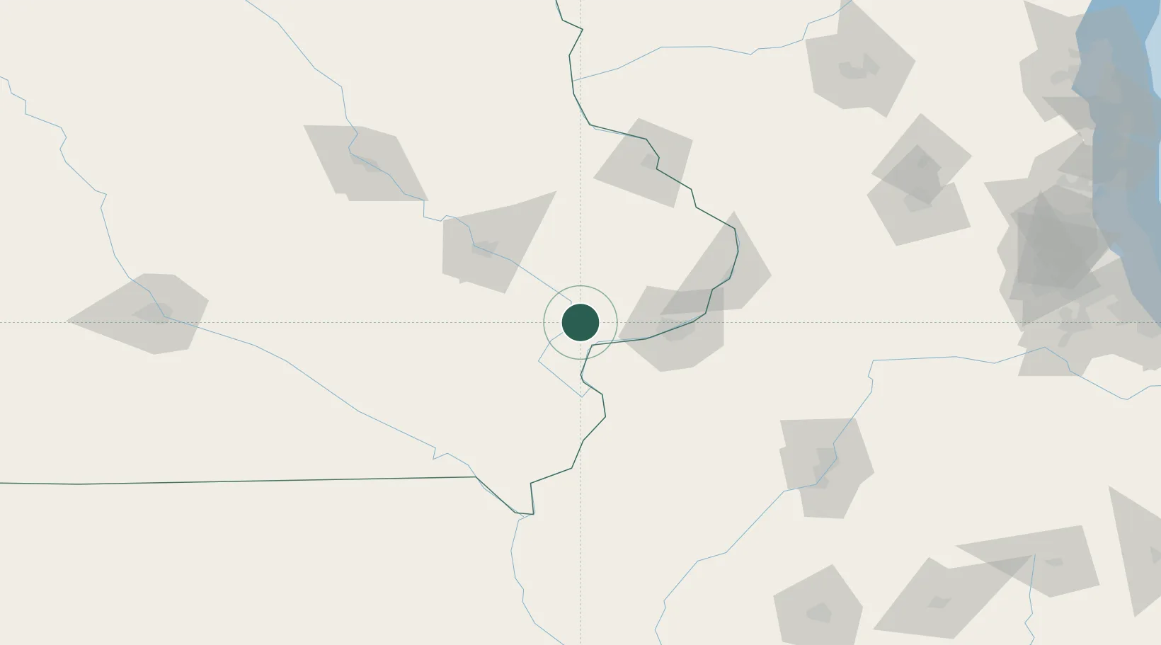
Hub Profile
Place type
Populated place
Region
Iowa
Time zone
America/Chicago
Elevation
199 m
Location
Nearby Logistics Neighbours
Cities
- 1Wilton8 km
- 2West Liberty16 km
- 3New Liberty26 km
- 4Illinois City26 km
- 5Walcott28 km
Ports
- 1Great Lakes283 km
- 2Waukegan286 km
- 3Wilmette289 km
- 4Chicago293 km
- 5Kenosha294 km
Airports
Trade Zones
- 1FTZ No. 175 Cedar Rapids74 km
- 2FTZ No. 055 Burlington82 km
- 3FTZ No. 271 Jo-Daviess and Carroll Counties111 km
- 4FTZ No. 114 Peoria158 km
- 5FTZ No. 176 Rockford175 km
DatabookThe Record of Consolidated Knowledge
United States beyond logistics?