Medium airport · United States
Southeast Iowa Regional AirportKBRL
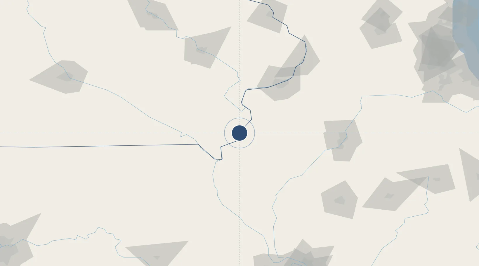
40.7832°, -91.1255°
6,102 ft
Longest runway
2
Runways
698 ft
Elevation
Runway & Layout

Radio Frequencies
ASOS
118.025 MHz
CNTR
135.6 MHz
CHICAGO CNTR
RDO
122.65 MHz
FORT DODGE RDO
UNIC
123 MHz
CTAF/UNICOM
Navaids
BR NDB Burns 390 kHz
Runways · 2
| Runway | Dimensions | Surface | True heading | Lit |
|---|---|---|---|---|
| 18/36 | 6,102 × 100ft | Asphalt / concrete | 180° | ✓ |
| 12/30 | 5,351 × 100ft | Concrete | 120° | ✓ |
Airport Specifications
IATA code
BRL
ICAO code
KBRL
Airport class
Medium airport
Scheduled service
Yes
Runway surface
Asphalt / concrete
Served city
Burlington
Location
Nearby Logistics Neighbours
Airports
Cities
- 1West Burlington4 km
- 2Mediapolis24 km
- 3New London29 km
- 4Franklin34 km
- 5Houghton40 km
Ports
- 1Chicago319 km
- 2Calumet Harbor320 km
- 3Wilmette321 km
- 4Great Lakes322 km
- 5Indiana Harbor324 km
Trade Zones
- 1FTZ No. 055 Burlington4 km
- 2FTZ No. 114 Peoria130 km
- 3FTZ No. 175 Cedar Rapids143 km
- 4FTZ No. 271 Jo-Daviess and Carroll Counties186 km
- 5FTZ No. 245 Decatur203 km
DatabookThe Record of Consolidated Knowledge
United States beyond logistics?