UN/LOCODE hub · United States
USVSD
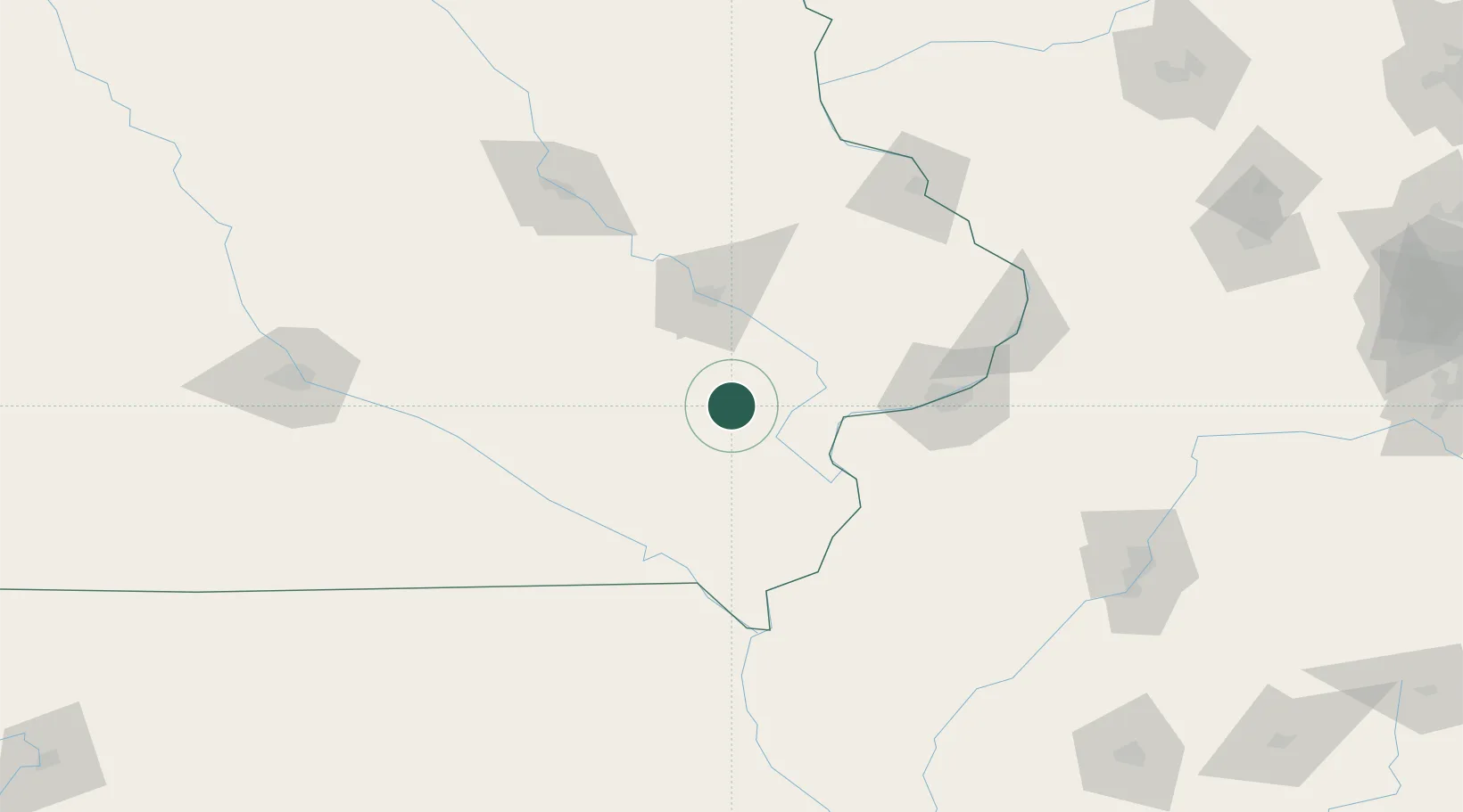
Riverside
41.4667°, -91.5667°
1,045
Population
2
Transport functions
Transport Functions
Road
Multimodal
Hub Profile
Place type
Populated place
Region
Iowa
Population
1,045
Time zone
America/Chicago
Elevation
198 m
Location
Nearby Logistics Neighbours
Cities
- 1West Liberty27 km
- 2Moscow40 km
- 3Williamsburg44 km
- 4Conroy46 km
- 5Wilton48 km
Ports
- 1Great Lakes323 km
- 2Waukegan326 km
- 3Wilmette329 km
- 4Chicago333 km
- 5Kenosha334 km
Airports
Trade Zones
- 1FTZ No. 175 Cedar Rapids59 km
- 2FTZ No. 055 Burlington83 km
- 3FTZ No. 271 Jo-Daviess and Carroll Counties145 km
- 4FTZ No. 107 Polk County180 km
- 5FTZ No. 114 Peoria187 km
DatabookThe Record of Consolidated Knowledge
United States beyond logistics?