Transport Functions
Rail
Road
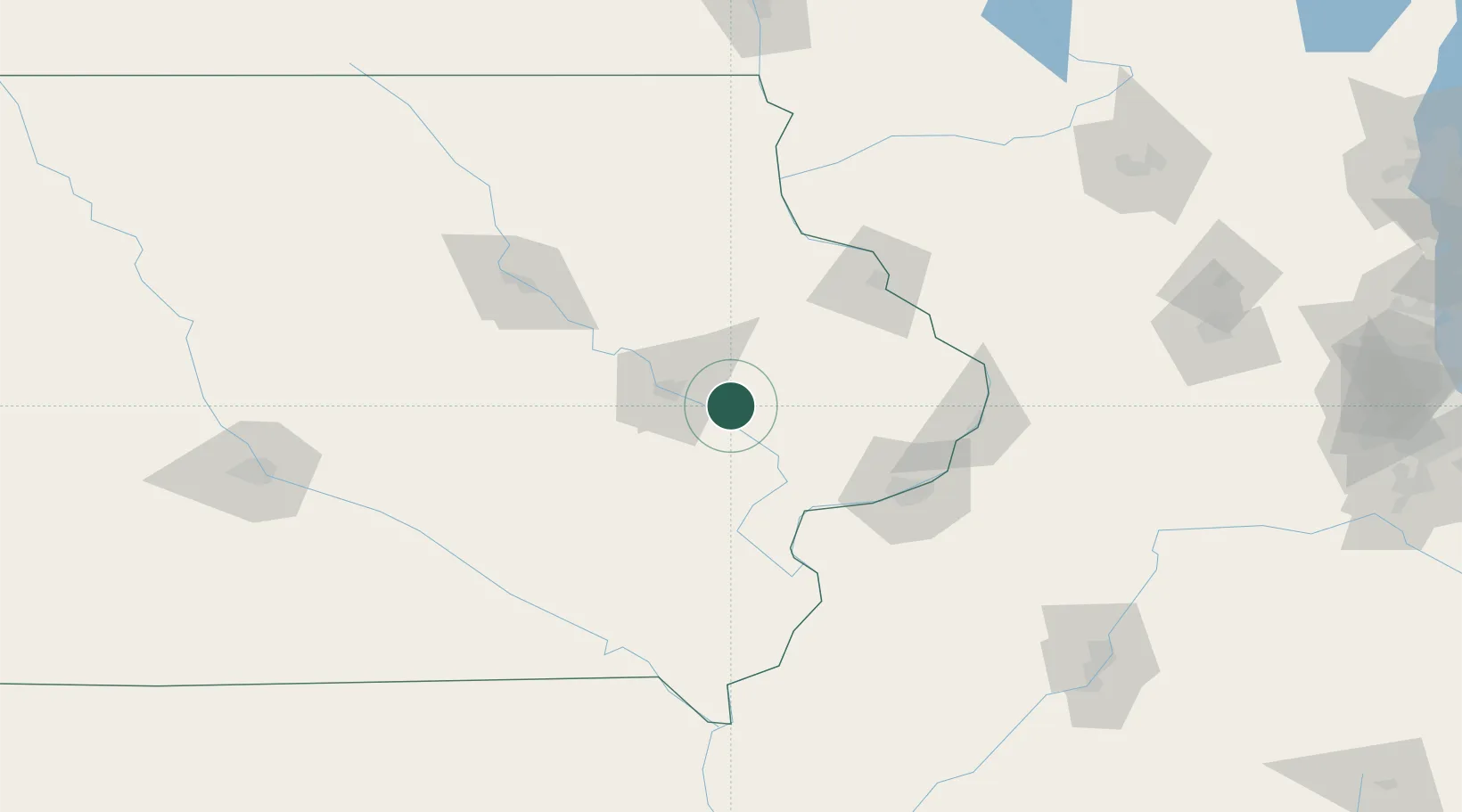
Hub Profile
Place type
Populated place
Region
Iowa
Population
2,202
Time zone
America/Chicago
Elevation
263 m
Location
Nearby Logistics Neighbours
Cities
- 1Hiawatha28 km
- 2Walford37 km
- 3West Liberty38 km
- 4Norway44 km
- 5Monmouth46 km
Ports
- 1Great Lakes296 km
- 2Waukegan298 km
- 3Kenosha303 km
- 4Wilmette306 km
- 5Racine310 km
Airports
- 1The Eastern Iowa Airport27 km
- 2Dubuque Regional Airport77 km
- 3Quad City International Airport89 km
- 4Waterloo Regional Airport110 km
- 5Ottumwa Regional Airport127 km
Trade Zones
- 1FTZ No. 175 Cedar Rapids35 km
- 2FTZ No. 271 Jo-Daviess and Carroll Counties104 km
- 3FTZ No. 055 Burlington125 km
- 4FTZ No. 176 Rockford183 km
- 5FTZ No. 266 Dane County188 km
DatabookThe Record of Consolidated Knowledge
United States beyond logistics?