Transport Functions
Rail
Road
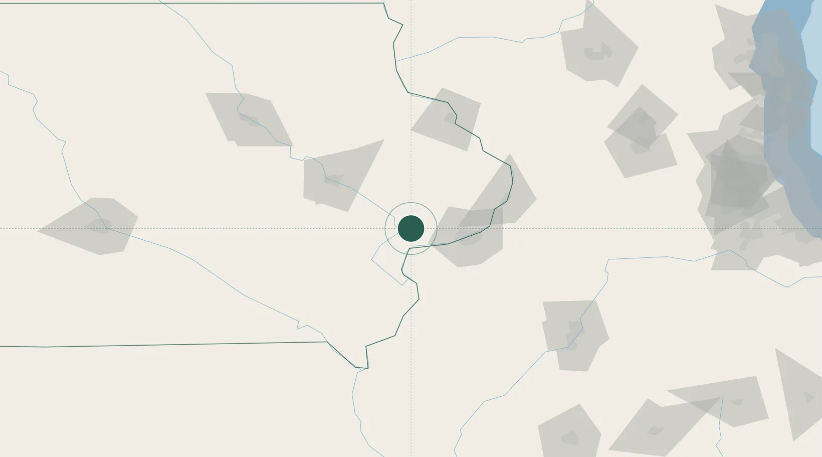
Hub Profile
Place type
Populated place
Region
Iowa
Population
2,805
Time zone
America/Chicago
Elevation
207 m
Location
Nearby Logistics Neighbours
Cities
- 1Moscow8 km
- 2New Liberty19 km
- 3Walcott21 km
- 4West Liberty23 km
- 5Illinois City25 km
Ports
- 1Great Lakes275 km
- 2Waukegan279 km
- 3Wilmette282 km
- 4Chicago285 km
- 5Kenosha287 km
Airports
Trade Zones
- 1FTZ No. 175 Cedar Rapids78 km
- 2FTZ No. 055 Burlington86 km
- 3FTZ No. 271 Jo-Daviess and Carroll Counties104 km
- 4FTZ No. 114 Peoria155 km
- 5FTZ No. 176 Rockford167 km
DatabookThe Record of Consolidated Knowledge
United States beyond logistics?