UN/LOCODE hub · United States
USNLR
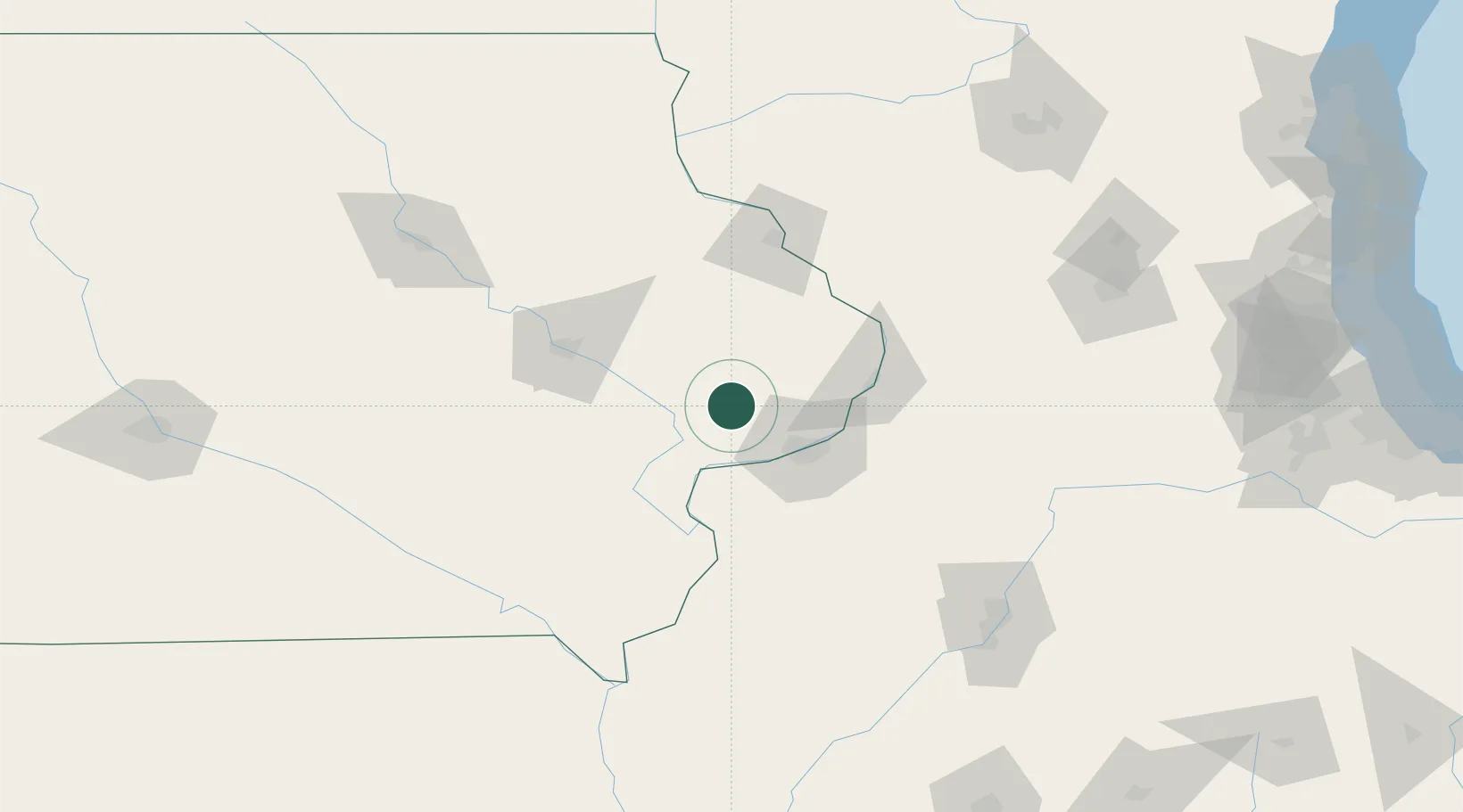
New Liberty
41.7167°, -90.8833°
142
Population
2
Transport functions
Transport Functions
Road
Multimodal
Hub Profile
Place type
Populated place
Region
Iowa
Population
142
Time zone
America/Chicago
Elevation
243 m
Location
Nearby Logistics Neighbours
Cities
- 1Wheatland12 km
- 2Walcott18 km
- 3Wilton19 km
- 4Moscow26 km
- 5West Liberty37 km
Ports
- 1Great Lakes260 km
- 2Waukegan263 km
- 3Wilmette268 km
- 4Kenosha271 km
- 5Chicago273 km
Airports
Trade Zones
- 1FTZ No. 175 Cedar Rapids81 km
- 2FTZ No. 271 Jo-Daviess and Carroll Counties85 km
- 3FTZ No. 055 Burlington102 km
- 4FTZ No. 176 Rockford151 km
- 5FTZ No. 114 Peoria157 km
DatabookThe Record of Consolidated Knowledge
United States beyond logistics?