UN/LOCODE hub · United States
USWK4

Walker, Livingston

30.4833°, -90.8667°
2
Transport functions

Transport Functions

Rail
Road
UN/LOCODE

Hub Profile

Region
LA
GeoNames

Location

Location of USWK4
Natural Earth 10m (public domain) · LA · USWK4 · 30.48, -90.87GoogleOSMYandex

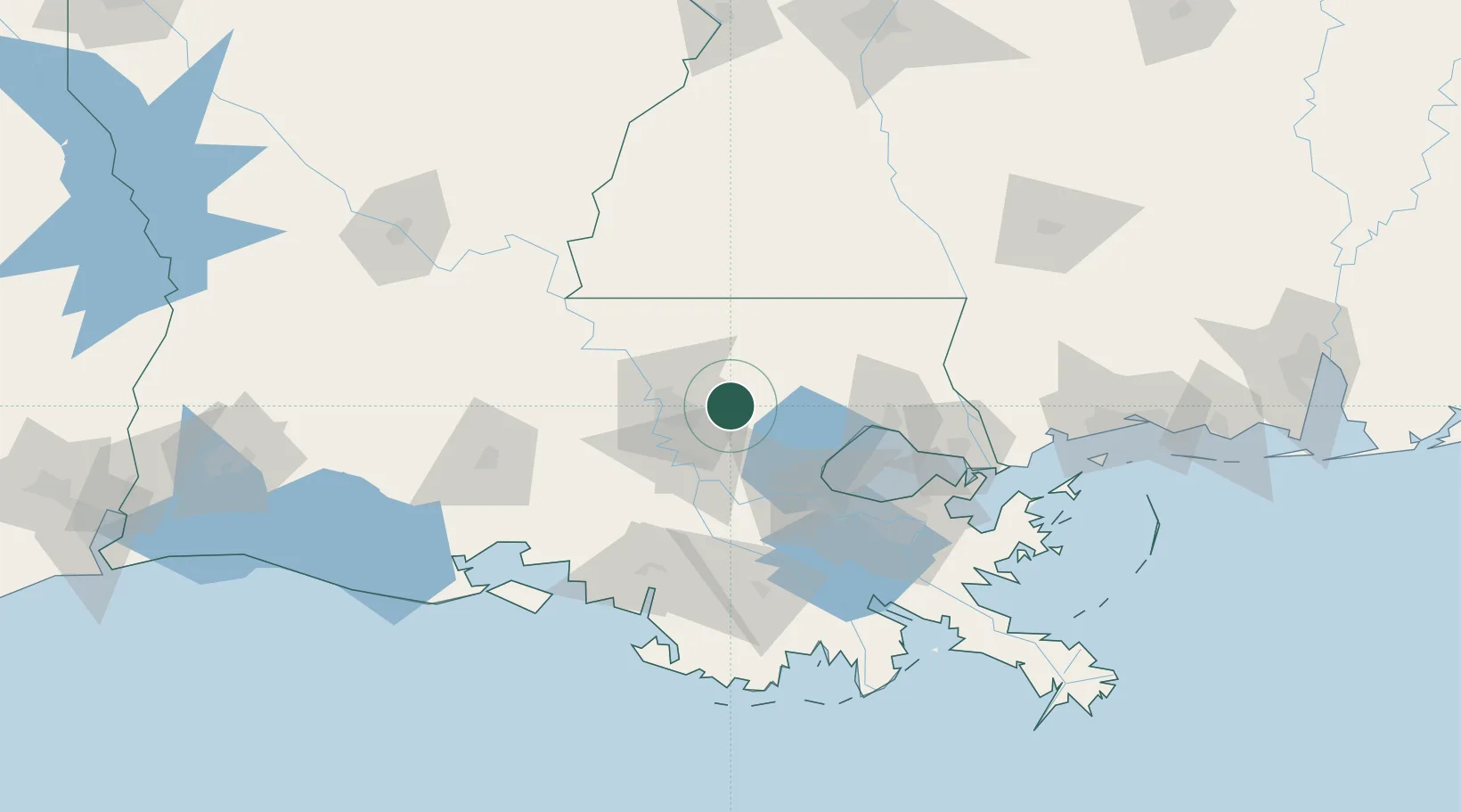
Nearby Logistics Neighbours

Cities
  1. 1Holden19 km
  2. 2Saint Amant30 km
  3. 3Bluff Creek30 km
  4. 4Baker31 km
  5. 5Baton Rouge31 km
Nearest neighbours — logibook spatial index (haversine) over the source coordinates
Ports
  1. 1Baton Rouge31 km
  2. 2Convent52 km
  3. 3St. James56 km
  4. 4Reserve57 km
  5. 5Madisonville69 km
Nearest neighbours — logibook spatial index (haversine) over the source coordinates
Airports
  1. 1Baton Rouge Metropolitan Airport28 km
  2. 2Louis Armstrong New Orleans International Airport79 km
  3. 3McComb-Pike County Airport / John E Lewis Field86 km
  4. 4Lakefront Airport94 km
  5. 5New Orleans NAS JRB/Alvin Callender Field108 km
Nearest neighbours — logibook spatial index (haversine) over the source coordinates
Trade Zones
  1. 1FTZ No. 154 Baton Rouge37 km
  2. 2FTZ No. 155 Calhoun Victoria Counties37 km
  3. 3FTZ No. 124 Gramercy49 km
  4. 4FTZ No. 002 New Orleans98 km
  5. 5FTZ No. 279 Terrebonne Parish125 km
Nearest neighbours — logibook spatial index (haversine) over the source coordinates
DatabookThe Record of Consolidated Knowledge
United States beyond logistics?
Browse databook

All Sources

LocationsUN/LOCODE
UN/LOCODE — free
Portsthe NGA World Port Index
Public domain (US gov)
AirportsOurAirports
Public domain
Trade Zonesthe World Bank SEZ database
CC BY 4.0
Trade ZonesOpen Zone Map
CC BY
← United States locations