About
Methodology
Sources
Licensing
English
EN
English
TR
Türkçe
DE
Deutsch
FR
Français
ES
Español
IT
Italiano
PT
Português
NL
Nederlands
PL
Polski
RU
Русский
UK
Українська
CS
Čeština
RO
Română
EL
Ελληνικά
BG
Български
AR
العربية
FA
فارسی
UR
اردو
HI
हिन्दी
BN
বাংলা
ID
Bahasa Indonesia
VI
Tiếng Việt
ZH
中文
JA
日本語
KO
한국어
logibook
/
Countries
/
United States
/
Locations
/
Saint Amant
UN/LOCODE hub ·
United States
US
4SA
Saint Amant
30.2167°, -90.8667°
2
Transport functions
Transport Functions
Rail
Road
UN/LOCODE
Hub Profile
Place type
Populated place
GeoNames
Region
Louisiana
GeoNames
Time zone
America/Chicago
GeoNames
Elevation
2 m
GeoNames
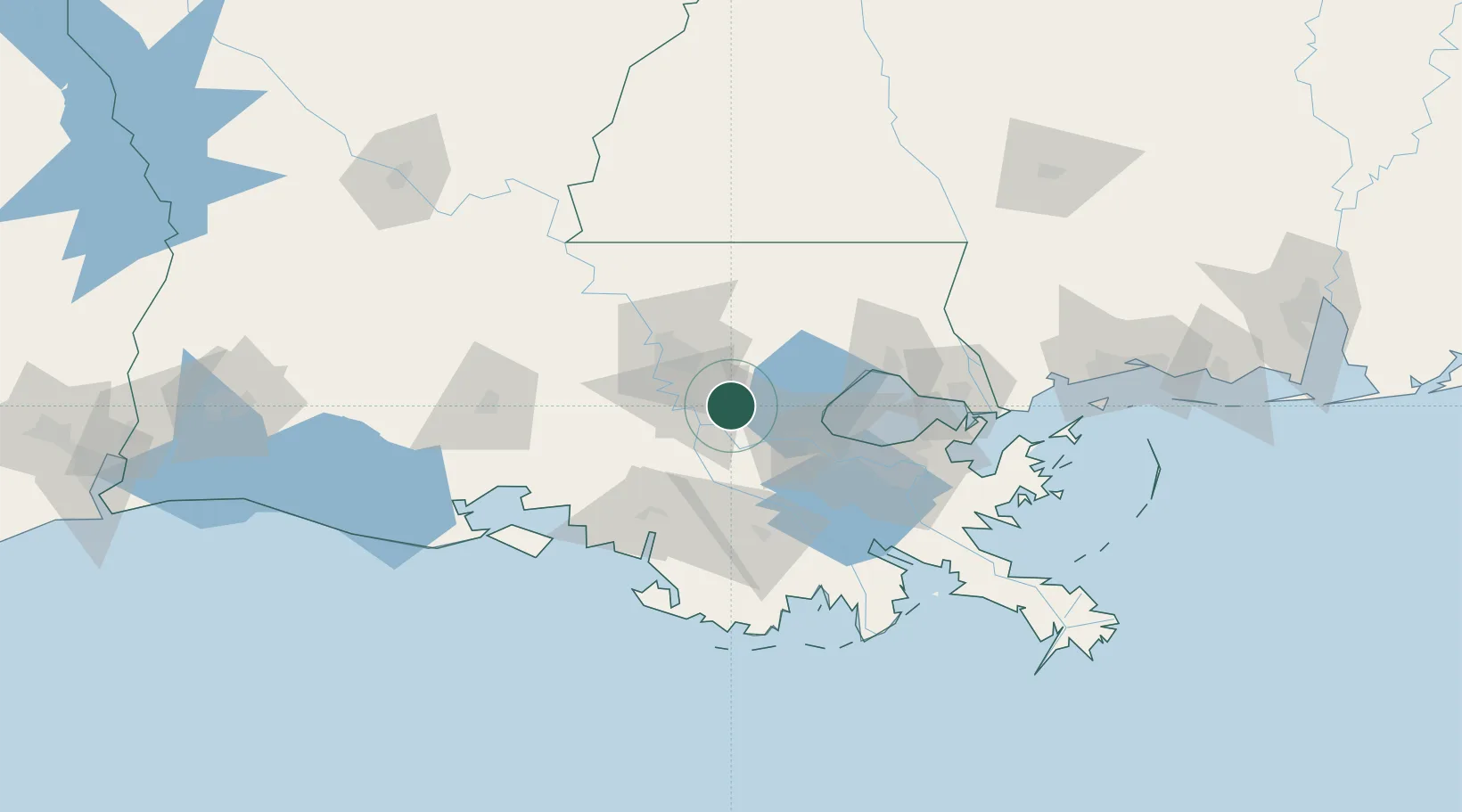
Location
Natural Earth 10m (public domain) · Louisiana · US4SA · 30.22, -90.87
Google ↗
OSM ↗
Yandex ↗
Nearby Logistics Neighbours
Cities
1
Burnside
10 km
2
Welcome
19 km
3
Romeville
19 km
4
Lutcher
26 km
5
Vacherie
28 km
Nearest neighbours — logibook spatial index (haversine) over the source coordinates
Ports
1
Convent
23 km
2
St. James
27 km
3
Reserve
36 km
4
Baton Rouge
40 km
5
Destrehan
57 km
Nearest neighbours — logibook spatial index (haversine) over the source coordinates
Airports
1
Baton Rouge Metropolitan Airport
44 km
2
Louis Armstrong New Orleans International Airport
63 km
3
Lakefront Airport
83 km
4
New Orleans NAS JRB/Alvin Callender Field
91 km
5
Acadiana Regional Airport
100 km
Nearest neighbours — logibook spatial index (haversine) over the source coordinates
Trade Zones
1
FTZ No. 124 Gramercy
23 km
2
FTZ No. 154 Baton Rouge
45 km
3
FTZ No. 155 Calhoun Victoria Counties
45 km
4
FTZ No. 002 New Orleans
83 km
5
FTZ No. 279 Terrebonne Parish
97 km
Nearest neighbours — logibook spatial index (haversine) over the source coordinates
Data
book
The Record of Consolidated Knowledge
United States beyond logistics?
Browse databook
→
All Sources
Locations
UN/LOCODE
UN/LOCODE — free
↗
Ports
the NGA World Port Index
Public domain (US gov)
↗
Airports
OurAirports
Public domain
↗
Trade Zones
the World Bank SEZ database
CC BY 4.0
↗
Trade Zones
Open Zone Map
CC BY
↗
← United States locations