UN/LOCODE hub · United States
USWUS
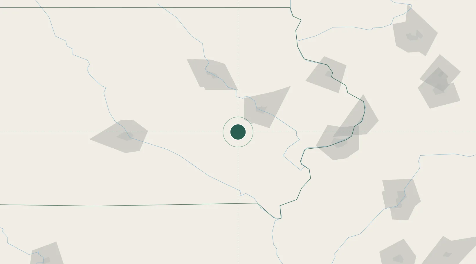
Williamsburg
41.6667°, -92.0167°
3,195
Population
3
Transport functions
Transport Functions
Port
Road
Multimodal
Hub Profile
Place type
Populated place
Region
Iowa
Population
3,195
Time zone
America/Chicago
Elevation
251 m
Location
Nearby Logistics Neighbours
Cities
- 1Conroy6 km
- 2Norway27 km
- 3Blairstown28 km
- 4Walford29 km
- 5Keswick30 km
Ports
- 1Great Lakes353 km
- 2Waukegan356 km
- 3Kenosha361 km
- 4Wilmette362 km
- 5Chicago367 km
Airports
Trade Zones
- 1FTZ No. 175 Cedar Rapids38 km
- 2FTZ No. 055 Burlington122 km
- 3FTZ No. 107 Polk County141 km
- 4FTZ No. 271 Jo-Daviess and Carroll Counties164 km
- 5FTZ No. 114 Peoria230 km
DatabookThe Record of Consolidated Knowledge
United States beyond logistics?