UN/LOCODE hub · United States
USSV2
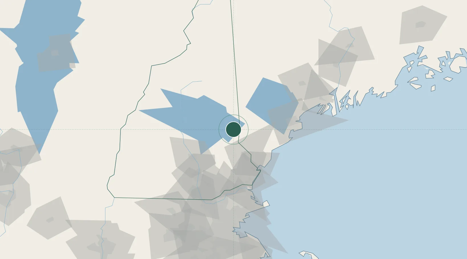
Sanbornville
43.5500°, -71.0333°
1,056
Population
2
Transport functions
Transport Functions
Rail
Road
Hub Profile
Place type
Populated place
Region
New Hampshire
Population
1,056
Time zone
America/New_York
Elevation
176 m
Location
Nearby Logistics Neighbours
Cities
- 1Wolfeboro14 km
- 2Farmington19 km
- 3Mirror Lake20 km
- 4Springvale21 km
- 5Alfred27 km
Ports
- 1Saco47 km
- 2Kennebunkport50 km
- 3Portsmouth57 km
- 4Portland64 km
- 5Newburyport83 km
Airports
Trade Zones
- 1FTZ No. 081 Portsmouth57 km
- 2FTZ No. 263 Auburn90 km
- 3FTZ No. 027 Boston138 km
- 4FTZ No. 268 Brattleboro148 km
- 5FTZ No. 186 Waterville154 km
DatabookThe Record of Consolidated Knowledge
United States beyond logistics?