UN/LOCODE hub · United States
USFPH
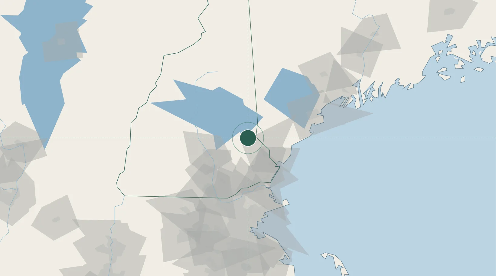
Farmington
43.3833°, -71.0667°
3,885
Population
2
Transport functions
Transport Functions
Road
Multimodal
Hub Profile
Place type
Populated place
Region
New Hampshire
Population
3,885
Time zone
America/New_York
Elevation
87 m
Location
Nearby Logistics Neighbours
Cities
- 1Sanbornville19 km
- 2Pittsfield22 km
- 3Springvale23 km
- 4Wolfeboro25 km
- 5Rollinsford26 km
Ports
- 1Portsmouth42 km
- 2Kennebunkport49 km
- 3Saco51 km
- 4Newburyport65 km
- 5Portland73 km
Airports
Trade Zones
- 1FTZ No. 081 Portsmouth41 km
- 2FTZ No. 263 Auburn105 km
- 3FTZ No. 027 Boston119 km
- 4FTZ No. 268 Brattleboro138 km
- 5FTZ No. 186 Waterville169 km
DatabookThe Record of Consolidated Knowledge
United States beyond logistics?