UN/LOCODE hub · United States
USGLF

Gilford

43.5500°, -71.4167°
7,849
Population
2
Transport functions

Transport Functions

Road
Multimodal
UN/LOCODE

Hub Profile

Place type
Populated place
GeoNames
Region
New Hampshire
GeoNames
Population
7,849
GeoNames
Time zone
America/New_York
GeoNames
Elevation
225 m
GeoNames

Location

Location of USGLF
Natural Earth 10m (public domain) · New Hampshire · USGLF · 43.55, -71.42GoogleOSMYandex

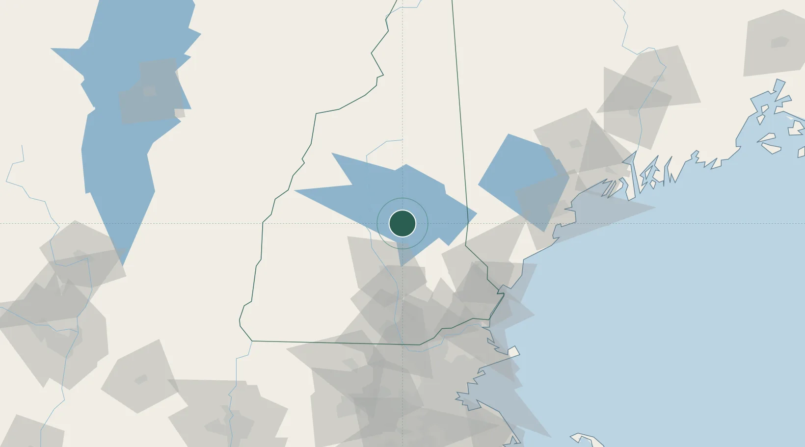
Nearby Logistics Neighbours

Cities
  1. 1Mirror Lake14 km
  2. 2Sanbornton14 km
  3. 3Meredith15 km
  4. 4Wolfeboro18 km
  5. 5Tilton19 km
Nearest neighbours — logibook spatial index (haversine) over the source coordinates
Ports
  1. 1Portsmouth75 km
  2. 2Saco78 km
  3. 3Kennebunkport79 km
  4. 4Newburyport93 km
  5. 5Portland95 km
Nearest neighbours — logibook spatial index (haversine) over the source coordinates
Airports
  1. 1Concord Municipal Airport39 km
  2. 2Manchester-Boston Regional Airport69 km
  3. 3Portsmouth International Airport at Pease71 km
  4. 4Lebanon Municipal Airport72 km
  5. 5Portland International Jetport90 km
Nearest neighbours — logibook spatial index (haversine) over the source coordinates
Trade Zones
  1. 1FTZ No. 081 Portsmouth72 km
  2. 2FTZ No. 263 Auburn114 km
  3. 3FTZ No. 268 Brattleboro123 km
  4. 4FTZ No. 027 Boston140 km
  5. 5FTZ No. 186 Waterville176 km
Nearest neighbours — logibook spatial index (haversine) over the source coordinates
DatabookThe Record of Consolidated Knowledge
United States beyond logistics?
Browse databook

All Sources

LocationsUN/LOCODE
UN/LOCODE — free
LocationsGeoNames
CC BY 4.0
Portsthe NGA World Port Index
Public domain (US gov)
AirportsOurAirports
Public domain
Trade Zonesthe World Bank SEZ database
CC BY 4.0
Trade ZonesOpen Zone Map
CC BY
← United States locations