UN/LOCODE hub · United States
USWDL
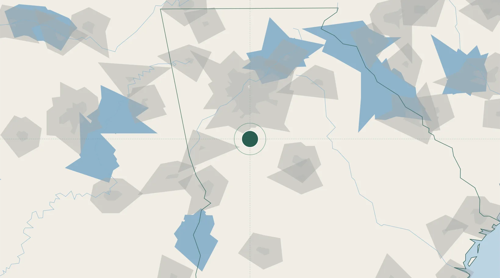
Williamson
33.1667°, -84.3500°
356
Population
1
Transport functions
Transport Functions
Multimodal
Hub Profile
Place type
Populated place
Region
Georgia
Population
356
Time zone
America/New_York
Elevation
281 m
Location
Nearby Logistics Neighbours
Cities
- 1Milner15 km
- 2Sunny Side20 km
- 3Alvaton22 km
- 4Molena22 km
- 5Senoia24 km
Ports
- 1Savannah329 km
- 2Darien340 km
- 3Brunswick350 km
- 4Beaufort354 km
- 5Port Royal354 km
Airports
Trade Zones
- 1FTZ No. 026 Atlanta66 km
- 2FTZ No. 222 Montgomery203 km
- 3FTZ No. 098 Birmingham232 km
- 4FTZ No. 134 Chattanooga235 km
- 5FTZ No. 233 Dothan238 km
DatabookThe Record of Consolidated Knowledge
United States beyond logistics?