Transport Functions
Rail
Road
Hub Profile
Place type
Populated place
Region
Georgia
Time zone
America/New_York
Elevation
233 m
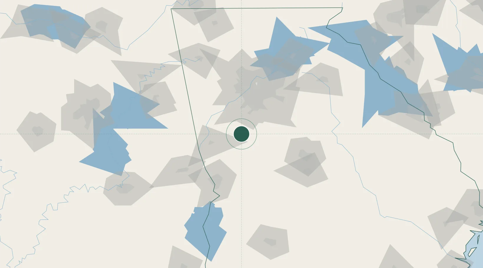
Location
Nearby Logistics Neighbours
Cities
- 1Senoia15 km
- 2Molena18 km
- 3Woodbury20 km
- 4Williamson22 km
- 5Grantville24 km
Ports
- 1Savannah349 km
- 2Panama City352 km
- 3Darien357 km
- 4Brunswick367 km
- 5Carrabelle369 km
Airports
Trade Zones
- 1FTZ No. 026 Atlanta69 km
- 2FTZ No. 222 Montgomery184 km
- 3FTZ No. 098 Birmingham211 km
- 4FTZ No. 134 Chattanooga227 km
- 5FTZ No. 233 Dothan230 km
DatabookThe Record of Consolidated Knowledge
United States beyond logistics?