Medium airport · United States
DeKalb Peachtree AirportKPDK
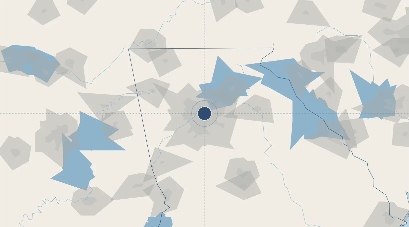
33.8763°, -84.3021°
6,001 ft
Longest runway
4
Runways
1,003 ft
Elevation
Runway & Layout

Radio Frequencies
ATIS
128.4 MHz
TWR
120.9 MHz
PEACHTREE TWR
GND
121.6 MHz
CLD
120.9 MHz
CLNC DEL
CTAF
120.9 MHz
A/D
126.975 MHz
ATLANTA APP/DEP
RDO
116.6 MHz
MACON RDO
UNIC
122.95 MHz
UNICOM
Navaids
PDK VOR-DME Peachtree 116.60 MHz
Runways · 4
| Runway | Dimensions | Surface | True heading | Lit |
|---|---|---|---|---|
| 3R/21L | 6,001 × 100ft | Concrete | 021° | ✓ |
| 16/34 | 3,968 × 150ft | Asphalt | 157° | ✓ |
| 3L/21R | 3,746 × 150ft | Asphalt | 020° | ✓ |
| H1 | 56 × 56ft | Concrete | — | ✓ |
Airport Specifications
IATA code
PDK
ICAO code
KPDK
Airport class
Medium airport
Scheduled service
Yes
Runway surface
Concrete
Served city
Atlanta
Location
Nearby Logistics Neighbours
Airports
Cities
- 1Sandy Springs8 km
- 2Dunwoody9 km
- 3Johns Creek19 km
- 4Lexington22 km
- 5Redan22 km
Ports
- 1Savannah360 km
- 2Beaufort375 km
- 3Port Royal377 km
- 4Darien387 km
- 5Brunswick401 km
Trade Zones
- 1FTZ No. 026 Atlanta15 km
- 2FTZ No. 134 Chattanooga168 km
- 3FTZ No. 038 Spartanburg County219 km
- 4FTZ No. 148 Knoxville235 km
- 5FTZ No. 098 Birmingham236 km
DatabookThe Record of Consolidated Knowledge
United States beyond logistics?