Medium airport · United States
Dobbins Air Reserve BaseKMGE
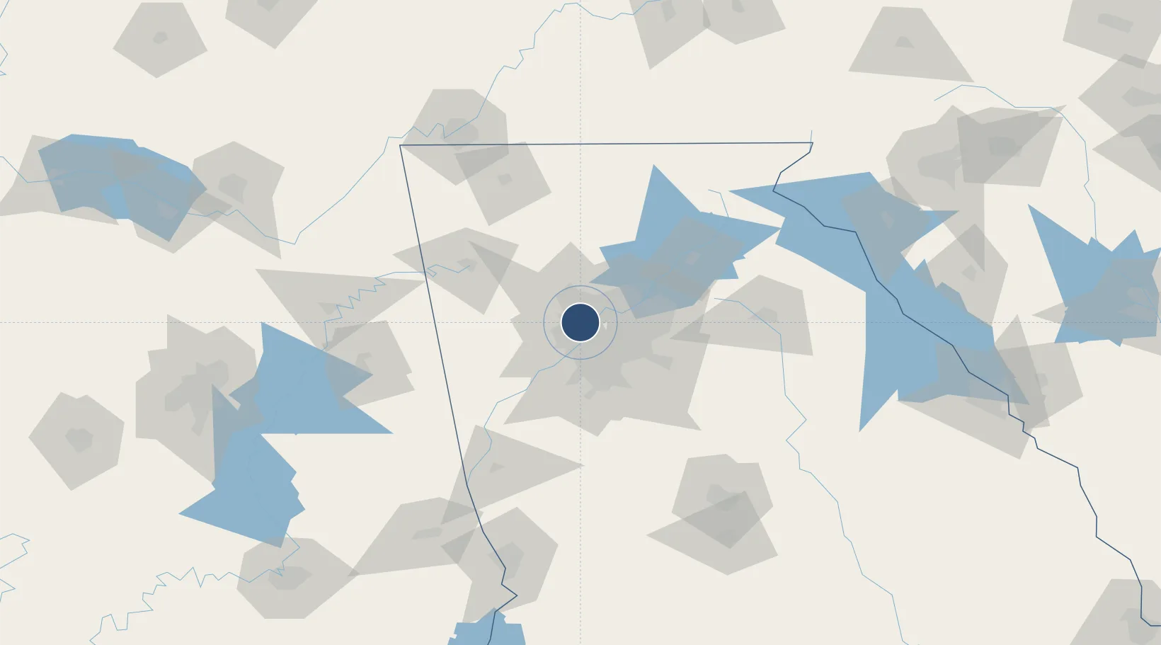
33.9154°, -84.5163°
10,002 ft
Longest runway
2
Runways
1,068 ft
Elevation
Runway & Layout

Radio Frequencies
ATIS
26.95 MHz
TWR
120.75 MHz
GND
125.3 MHz
A/D
121 MHz
ATLANTA APP/DEP
MISC
34.02 MHz
NAVY OPS
OPS
47 MHz
ARNG OPS
PMSV
27.475 MHz
PMSV METRO
POST
37.952 MHz
94AW COMD POST
PTD
139.3 MHz
Navaids
DOB TACAN Dobbins 113.00 MHz
Runways · 2
| Runway | Dimensions | Surface | True heading | Lit |
|---|---|---|---|---|
| 11/29 | 10,002 × 300ft | Concrete | 106° | ✓ |
| 110/290 | 3,495 × 60ft | ASPH | — | — |
Airport Specifications
IATA code
MGE
ICAO code
KMGE
Airport class
Medium airport
Scheduled service
No
Runway surface
Concrete
Served city
Marietta
Location
Nearby Logistics Neighbours
Airports
Cities
- 1Sandy Springs14 km
- 2Dunwoody17 km
- 3Johns Creek33 km
- 4Ellenwood38 km
- 5Lake City39 km
Ports
- 1Savannah379 km
- 2Beaufort394 km
- 3Port Royal396 km
- 4Darien405 km
- 5Brunswick418 km
Trade Zones
- 1FTZ No. 026 Atlanta21 km
- 2FTZ No. 134 Chattanooga153 km
- 3FTZ No. 098 Birmingham217 km
- 4FTZ No. 083 Huntsville222 km
- 5FTZ No. 148 Knoxville232 km
DatabookThe Record of Consolidated Knowledge
United States beyond logistics?