UN/LOCODE hub · United States
USYUY
Sunny Side
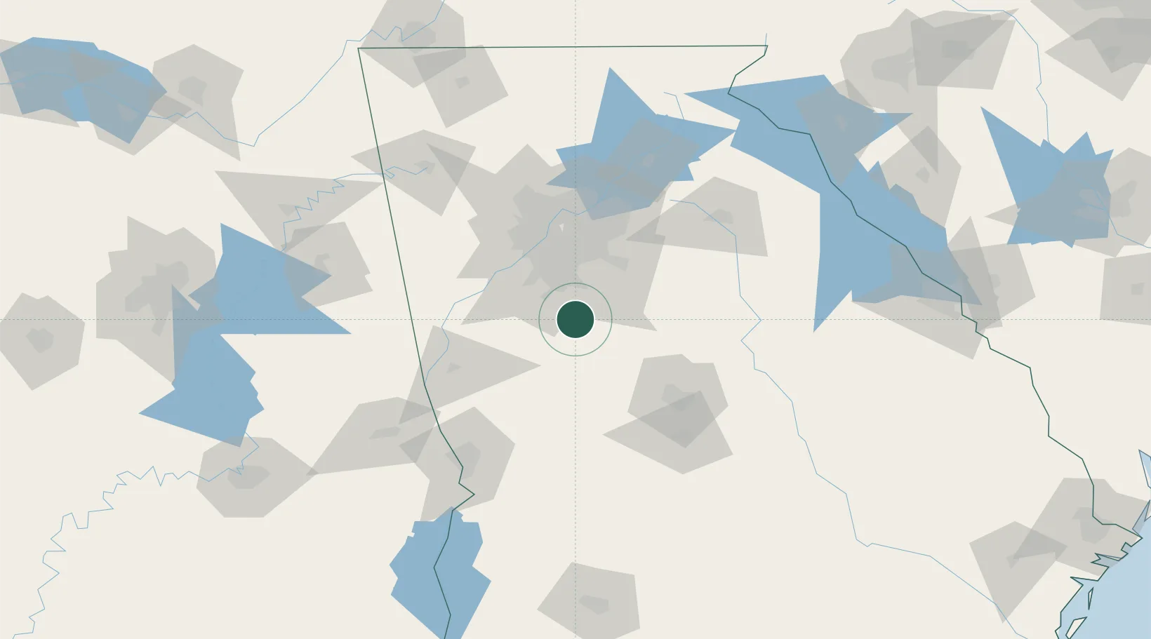
33.3333°, -84.2833°
132
Population
2
Transport functions
Transport Functions
Rail
Road
Hub Profile
Place type
Populated place
Region
Georgia
Population
132
Time zone
America/New_York
Elevation
281 m
Location
Nearby Logistics Neighbours
Cities
- 1Greenwood, Henry12 km
- 2Williamson20 km
- 3Jonesboro21 km
- 4Jenkinsburg23 km
- 5Senoia25 km
Ports
- 1Savannah330 km
- 2Darien346 km
- 3Beaufort352 km
- 4Port Royal353 km
- 5Brunswick357 km
Airports
Trade Zones
- 1FTZ No. 026 Atlanta49 km
- 2FTZ No. 222 Montgomery217 km
- 3FTZ No. 134 Chattanooga221 km
- 4FTZ No. 098 Birmingham236 km
- 5FTZ No. 038 Spartanburg County255 km
DatabookThe Record of Consolidated Knowledge
United States beyond logistics?