Transport Functions
Rail
Road
Hub Profile
Place type
Populated place
Region
Georgia
Population
4,073
Time zone
America/New_York
Elevation
271 m
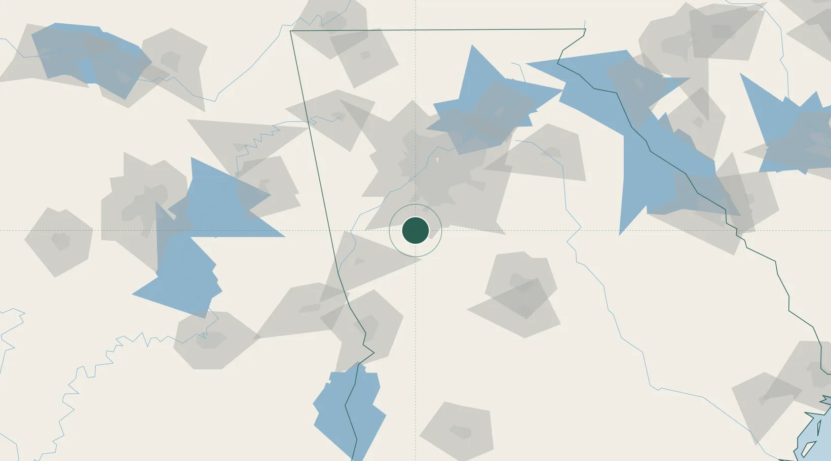
Location
Nearby Logistics Neighbours
Cities
- 1Alvaton15 km
- 2Tyrone19 km
- 3Williamson24 km
- 4Sunny Side25 km
- 5Grantville27 km
Ports
- 1Savannah352 km
- 2Darien363 km
- 3Panama City367 km
- 4Brunswick373 km
- 5Beaufort375 km
Airports
Trade Zones
- 1FTZ No. 026 Atlanta53 km
- 2FTZ No. 222 Montgomery194 km
- 3FTZ No. 098 Birmingham211 km
- 4FTZ No. 134 Chattanooga214 km
- 5FTZ No. 233 Dothan245 km
DatabookThe Record of Consolidated Knowledge
United States beyond logistics?